


+ 41
UT School Ride
自行車路線
適中
20.52 英里
142 呎
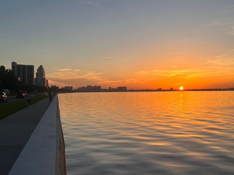
Bayshore/Davis Island 20 Mile Route
建立者:
Jason Turk

路線和海拔
路段
| 名稱 | 距離 | 海拔差異 | 平均坡度 |
|---|---|---|---|
| Davis Islands Bridge - Bay to Bay | 1.96 英里 | 3 呎 | 0.0% |
| Bayshore Out | 3.13 英里 | 95 呎 | 0.1% |
| Bayshore Blvd (Howard - Bay to Bay) | 0.63 英里 | -7 呎 | -0.2% |
| BaytoBay to Gandy | 1.73 英里 | -7 呎 | -0.0% |
| Bayshore / Bay to Bay - Gandy | 1.80 英里 | 10 呎 | 0.0% |
| Bayshore Blvd (Bay to Bay to Bayshore Ct) | 1.59 英里 | -7 呎 | -0.1% |
| Stinko Sprint | 0.75 英里 | 10 呎 | 0.0% |
| Gandy to top of DI bridge | 3.99 英里 | 26 呎 | 0.1% |
| Gandy to Speed Sign | 0.26 英里 | 0 呎 | 0.0% |
| Kokomo Water segment | 3.54 英里 | -7 呎 | -0.0% |
| Bayshore Back | 3.83 英里 | -59 呎 | 0.0% |
| Off Road Bayshore - Hawthorne to DI Bridge | 3.79 英里 | -13 呎 | -0.0% |
| Vill Rosa to Howard | 2.02 英里 | 3 呎 | 0.0% |
| Bayshore Blvd - Gandy -> Davis Island | 3.74 英里 | -16 呎 | -0.1% |
| Euclid to Davis Island | 2.82 英里 | -7 呎 | -0.0% |
| INTO DAVIS ISLAND | 0.36 英里 | -13 呎 | -0.5% |
| Peter O. Knight Runway Sprint | 0.34 英里 | 0 呎 | 0.0% |
| Neptune's Sprint | 0.15 英里 | 3 呎 | 0.3% |
| Peter O. Knight Runway Sprint (Reverse) | 0.30 英里 | 3 呎 | 0.0% |
| Davis Blvd - Barbados to Aegean | 0.64 英里 | -3 呎 | -0.0% |
| OUT OF DAVIS ISLAND | 0.20 英里 | -7 呎 | -0.4% |
| Davis Is -> Bayshore Bridge Alternate | 0.22 英里 | -7 呎 | -0.0% |