Últimas duas semanas

Mês passado


+ 75
NBSCC - Revised Menwith Hill visit
Rota de ciclismo
Detalhes
27,36 milhas
2 345 pés
HQ to Menwith Hill, descent down to Askwith then to Ilkley and back to HQ.
Criado por
Jules Lockwood

Rota e elevação
Segmentos
| Nome | Distância | Dif. Elevação | Inclinação Média |
|---|---|---|---|
| lucky lights? | 0,24 milhas | -36 pés | -2,7% |
| corner town river sprint | 0,21 milhas | -36 pés | -3,1% |
| _I | 0,08 milhas | -7 pés | -1,6% |
| Farnely Lane Climb | 1,29 milhas | 276 pés | 3,9% |
| Otley to the top of Norwood | 4,31 milhas | 686 pés | 3,0% |
| Cow sign Climb | 0,64 milhas | 164 pés | 4,8% |
| Sprinting for Cows | 0,31 milhas | 112 pés | 6,6% |
| Farnley to Dam | 1,22 milhas | -171 pés | -2,1% |
| Cheeky Bants | 0,59 milhas | -105 pés | -0,7% |
| Norwood First Bit | 0,34 milhas | 190 pés | 10,2% |
| Norwood Edge | 1,10 milhas | 541 pés | 9,2% |
| Stinger | 0,51 milhas | 207 pés | 7,5% |
| Stainburn Road Climb | 0,22 milhas | 79 pés | 6,7% |
| Rooting for you | 0,38 milhas | 144 pés | 7,0% |
| Last dig of Norwood! | 0,24 milhas | 89 pés | 6,9% |
| Norwood summit to Broad Dubb Rd | 0,94 milhas | -236 pés | -4,5% |
| Brame Lane Blast | 1,82 milhas | -174 pés | -1,4% |
| Broad Dubb Rd to Penny Pot Ln | 1,32 milhas | 85 pés | 0,1% |
| Down & round | 0,67 milhas | -79 pés | -1,9% |
| Church Hill, Blubberhouses | 0,36 milhas | 141 pés | 7,2% |
| Timble off Askwith | 4,87 milhas | -499 pés | -0,4% |
| Church Hill Wall | 0,07 milhas | 59 pés | 14,6% |
| Chruch Hill (Steep) | 0,13 milhas | 98 pés | 13,6% |
| A59 to Timble lane | 1,41 milhas | 226 pés | 3,0% |
| Askwith Moor from the A59 | 2,97 milhas | 404 pés | 2,5% |
| Up to Timble Lane | 0,58 milhas | 220 pés | 6,8% |
| Askwith Moor Climb | 2,00 milhas | 194 pés | 1,1% |
| Askwith Moor Steep Bit | 0,25 milhas | 141 pés | 10,7% |
| On top of the world | 0,83 milhas | -82 pés | -1,8% |
| Askwith descent | 1,23 milhas | -417 pés | -6,4% |
| Askwith Ln to Denton Rd | 1,65 milhas | -171 pés | -2,0% |
| tank it | 0,49 milhas | -36 pés | -1,4% |
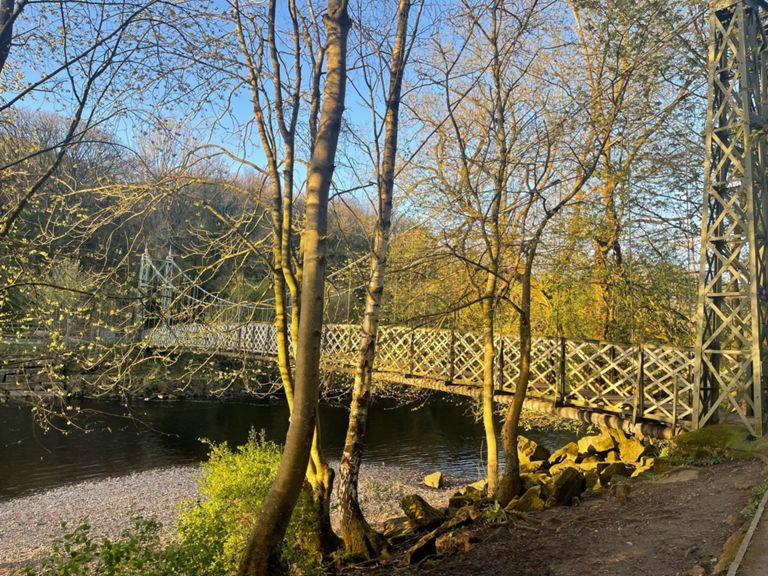
| Iron Bridge to Bouncy Bridge | 0,95 milhas | 20 pés | 0,4% |
| Training sprint | 1,01 milhas | 20 pés | 0,0% |
| 30mph-Ikley sign sprint | 0,44 milhas | -20 pés | 0,0% |
| Shauns mates sprint | 0,24 milhas | 52 pés | 3,9% |
| Ilkley to Burley | 4,10 milhas | -79 pés | -0,4% |
| Ilkley Sprint. | 1,24 milhas | -56 pés | -0,8% |
| Fast as with a tailwind | 1,25 milhas | -36 pés | -0,5% |
| Iron Bridge A65 to lay by at Burley roundabout | 1,55 milhas | -43 pés | -0,2% |
| iron bridge to burley | 1,76 milhas | -43 pés | -0,1% |
| Iron bridge to A65 roundabout | 1,67 milhas | -43 pés | -0,0% |
| Iron Bridge to Chimney dash | 4,01 milhas | -56 pés | -0,2% |
| Magic Roundabouts | 0,91 milhas | -26 pés | -0,4% |
| Burley To Otley 2mile TT. | 1,97 milhas | -43 pés | -0,4% |
| Max's Sprint | 0,20 milhas | 7 pés | 0,7% |
| Burley-Otley | 1,34 milhas | 30 pés | 0,2% |
| Givitsumammer | 0,61 milhas | -16 pés | -0,5% |
| Birdcage Walk Climb | 0,42 milhas | 20 pés | 0,9% |
| Ikley road to toy shop | 0,34 milhas | 13 pés | 0,5% |