


+ 13
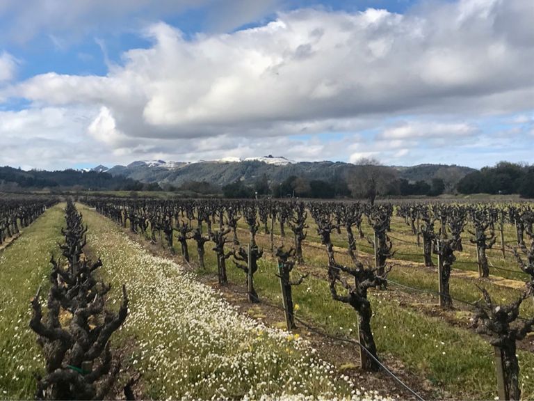
Healdsburg Loop
Rota de ciclismo
Detalhes
30,61 milhas
978 pés
From H2 Hotel up W Dry Creek and back around Alexander Valley Rd
Criado por
Rob Stone

Rota e elevação
Segmentos
| Nome | Distância | Dif. Elevação | Inclinação Média |
|---|---|---|---|
| Madrona Manor to Lambert Bridge Road | 4,96 milhas | 49 pés | 0,2% |
| West Dry Creek Road | 8,75 milhas | 85 pés | 0,2% |
| West Dry Creek Rd Northbound | 8,80 milhas | 95 pés | 0,2% |
| West Dry Creek Road Climb | 0,46 milhas | -30 pés | -0,2% |
| Yoakim Bridge Road | 0,64 milhas | -20 pés | -0,1% |
| Canyon Road | 1,75 milhas | 200 pés | 2,1% |
| Canyon Road-128 | 2,21 milhas | 194 pés | 0,3% |
| Canyon Road Climb East | 1,70 milhas | 217 pés | 2,1% |
| Canyon Road Descent | 0,58 milhas | -157 pés | -5,1% |
| Hwy 128 - Geyserville | 8,89 milhas | -66 pés | -0,1% |
| Geyserville Sprint | 0,15 milhas | -7 pés | -0,1% |
| Geyersville Sprint | 0,15 milhas | 7 pés | 0,1% |
| Geyserville Avenue Climb | 0,37 milhas | 20 pés | 0,3% |
| Geyserville 128 to Pine Flat | 7,48 milhas | -72 pés | -0,0% |
| Geyserville to Geysers Road | 4,35 milhas | 39 pés | 0,0% |
| Red Winery Southbound | 2,73 milhas | -49 pés | -0,3% |
| Red Winery Sprint | 1,43 milhas | -36 pés | -0,4% |
| Goodyear to CPR | 3,44 milhas | -26 pés | -0,0% |
| AVB to CPR | 3,25 milhas | 26 pés | 0,0% |
| lytton station westbound sprint | 1,19 milhas | -16 pés | -0,1% |
| Lytton Station Road | 1,36 milhas | -7 pés | -0,0% |
| Lytton Springs RR X-Chiquita Rd | 0,68 milhas | 98 pés | 2,7% |
| Fredson to Chiquita on Lynton Springs | 0,58 milhas | 82 pés | 2,6% |
| Lytton to Grove | 2,05 milhas | -125 pés | -1,1% |
| Chiquita S to Stop | 1,29 milhas | -52 pés | -0,8% |
| Banana Kicker | 0,40 milhas | 30 pés | 1,4% |
| Chiquita Rd | 1,26 milhas | -128 pés | -1,9% |