
Mês passado

Mês passado


+ 194
Birkhouse loop 50mile
Rota de ciclismo
Detalhes
49,69 milhas
5 696 pés
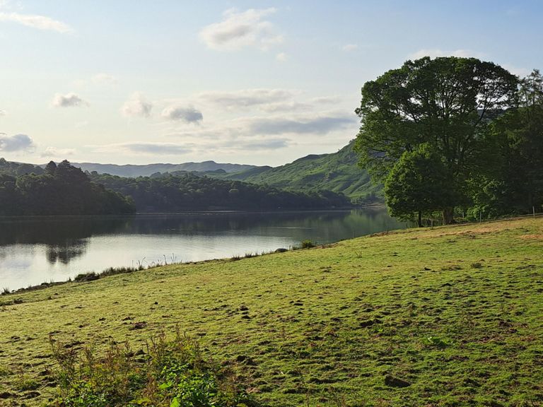
Struggle, Ulleswater
Criado por
Strava Athlete

Rota e elevação
Segmentos
| Nome | Distância | Dif. Elevação | Inclinação Média |
|---|---|---|---|
| Down High Cross to Hawkshead | 0,72 milhas | -285 pés | -7,4% |
| Outgate Climb | 0,59 milhas | 105 pés | 3,3% |
| Wray to Clappersgate | 1,49 milhas | -72 pés | -0,4% |
| New track North to Clappersgate | 0,54 milhas | -72 pés | -0,7% |
| Clappersgate to the Bridge | 0,40 milhas | -30 pés | -1,1% |
| Town center Sprint | 0,39 milhas | 36 pés | 1,8% |
| PUSH Cartel Super Sprint | 0,13 milhas | 23 pés | 3,1% |
| Roundabout to Hill Top Rd | 0,13 milhas | 89 pés | 12,5% |
| The Struggle..sec1...relentless! | 1,65 milhas | 945 pés | 10,9% |
| the struggle | 2,87 milhas | 1 260 pés | 8,3% |
| struggle first steep part | 1,74 milhas | 906 pés | 9,8% |
| Struggle first steep section | 0,63 milhas | 456 pés | 13,6% |
| The Struggle (Official Pass) | 2,50 milhas | 1 079 pés | 8,2% |
| Struggle second steep section | 0,35 milhas | 230 pés | 12,2% |
| Struggle..sec2..the kind of flat bit! | 0,80 milhas | 52 pés | 0,6% |
| Struggle To The Line | 0,58 milhas | 299 pés | 8,5% |
| Final section of the Struggle | 0,52 milhas | 351 pés | 12,6% |
| Fred Whitton - Pt 2 - Kirkstone Summit to A66 | 13,75 milhas | -1024 pés | -0,8% |
| Kirkstone Downhill | 1,49 milhas | -856 pés | -10,8% |
| Kirkstone Top to Brotherswater Carpark | 2,83 milhas | -974 pés | -6,5% |
| Kirkstone top | 0,96 milhas | -594 pés | -11,7% |
| Hartsop to Glenridding | 2,90 milhas | -52 pés | -0,2% |
| Blast through Patter & Glen | 1,88 milhas | -49 pés | -0,1% |
| Glenridding to Dockray | 3,61 milhas | 482 pés | 2,1% |
| Glenridding to Troutbeck | 7,34 milhas | 673 pés | 1,0% |
| Park Brow | 1,16 milhas | 453 pés | 7,4% |
| Dockray to Matterdale End | 1,20 milhas | -89 pés | -0,3% |
| Down to Matterdale end | 0,54 milhas | -108 pés | -2,9% |
| A5091 Climb | 0,54 milhas | 279 pés | 9,8% |
| Rookin TT | 1,16 milhas | -190 pés | -2,9% |
| Troutbeck A66 descent... | 1,68 milhas | -312 pés | -3,5% |
| A66 Burn | 4,25 milhas | -381 pés | -1,7% |
| A66 Climb | 1,16 milhas | 157 pés | 2,2% |
| Scales road end to St john's in the yale turn off | 1,73 milhas | -266 pés | -2,8% |
| Down Dale | 1,25 milhas | 43 pés | 0,3% |
| Quarry Junction to West Head Junction | 7,58 milhas | 253 pés | 0,3% |
| i dont remember it been that far...... | 2,48 milhas | -121 pés | -0,8% |
| Dunmail Keswick to Gramere | 0,80 milhas | 161 pés | 3,0% |
| dunmail down,the fast bit | 1,12 milhas | -381 pés | -6,4% |
| Red Bank Climb | 0,46 milhas | 56 pés | 1,6% |
| Grasmere to top of Redbank | 1,65 milhas | 374 pés | 4,0% |
| Red Bank long | 0,73 milhas | 276 pés | 7,1% |
| Red bank 25% | 0,27 milhas | 210 pés | 14,6% |
| Red Bank Climb | 0,52 milhas | 262 pés | 9,5% |
| The chase | 2,52 milhas | -364 pés | -2,0% |
| from yha to elterwater | 0,75 milhas | -348 pés | -8,5% |
| Elterwater to Windy Ridge | 1,28 milhas | -82 pés | -0,2% |
| Side Gates climb | 0,29 milhas | 95 pés | 5,6% |
| Oxen Fell A593 | 0,82 milhas | 269 pés | 6,2% |
| hodge close to whins wood | 1,62 milhas | -125 pés | -1,3% |