


+ 74
28 miler?
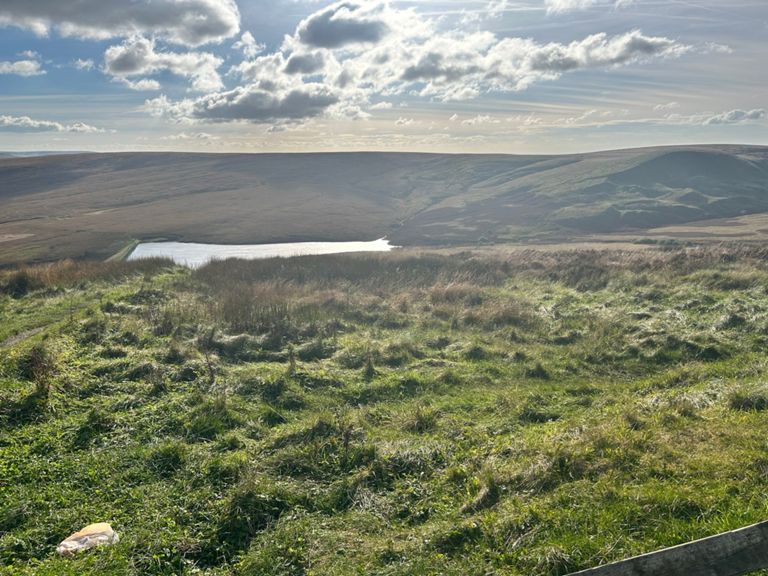
Rota de ciclismo
Detalhes
28,56 milhas
2 624 pés
evening ride?
Criado por
TRISTAN N

Rota e elevação
Segmentos
| Nome | Distância | Dif. Elevação | Inclinação Média |
|---|---|---|---|
| Bridge to waggon | 0,62 milhas | -62 pés | -0,1% |
| New Hey Rd Climb | 1,17 milhas | 262 pés | 4,3% |
| Outlane to buckstones | 4,87 milhas | 581 pés | 2,3% |
| Lower Royal up past Nonts | 3,64 milhas | 420 pés | 2,2% |
| New Hey Rd Climb | 1,65 milhas | 292 pés | 3,3% |
| Cupwith to Car Park | 1,40 milhas | 236 pés | 3,2% |
| Buckstones to Denshaw desent | 3,49 milhas | -515 pés | -2,7% |
| rorroT noinO | 1,18 milhas | -62 pés | -1,0% |
| Huddersfield Rd downhill (the fast bit) | 2,31 milhas | -545 pés | -4,5% |
| Pennine Bridleway - Denshaw Junction (DH) | 1,24 milhas | -207 pés | -2,7% |
| Ripponden Rd Climb | 1,24 milhas | 358 pés | 5,4% |
| Windy Hill Climb | 2,38 milhas | 486 pés | 3,8% |
| Denshaw to Mast | 2,44 milhas | 486 pés | 3,6% |
| Rishworth Moor - Denshaw to truck stop complete | 2,34 milhas | 479 pés | 3,8% |
| Ripponden road pub to pub | 0,79 milhas | 285 pés | 6,8% |
| windy hill from 60 signs | 2,29 milhas | 476 pés | 3,8% |
| Short windy hill | 1,21 milhas | 335 pés | 5,2% |
| Mast to Quarry | 2,25 milhas | -427 pés | -3,5% |
| Denshaw Mast to Turnpike | 3,21 milhas | -505 pés | -3,0% |
| Mast to M62 Bridge Sprint | 0,52 milhas | -190 pés | -6,9% |
| Junction 22 Descent | 0,44 milhas | -161 pés | -6,9% |
| Descent to Ripponden | 5,47 milhas | -840 pés | -2,9% |
| A672 to Ripponden | 5,07 milhas | -850 pés | -3,2% |
| Green Withens to The Turnpike | 2,64 milhas | -331 pés | -2,4% |
| Dam to Ripponden | 1,49 milhas | -308 pés | -3,3% |
| Repponden To Sowerby Bridge | 2,52 milhas | -164 pés | -1,2% |
| *Big Teds Descent | 0,98 milhas | -115 pés | -2,2% |
| MTB Road Run | 0,58 milhas | -59 pés | -1,7% |
| CMBC Wharf St East SB | 0,03 milhas | -0 pés | -0,4% |
| sprint for the vet | 0,26 milhas | 43 pés | 2,5% |
| Prospect Vets to Copley Bridge TT | 2,11 milhas | -36 pés | -0,1% |
| CMBC Wakefield Rd Out SB | 0,04 milhas | 0 pés | 0,0% |
| Vets to Copley lights TT | 1,52 milhas | -36 pés | -0,3% |
| bolton brow to cow lane | 1,75 milhas | -23 pés | -0,2% |
| Stainland rd straight | 0,35 milhas | 56 pés | 2,0% |
| CMBC B6112 S West Vale | 0,04 milhas | 3 pés | 1,6% |
| climb | 0,16 milhas | 102 pés | 11,4% |
| CMBC B6113 E (East – West Vale) | 0,03 milhas | 20 pés | 10,2% |
| Victotia Rd Sprint to the Finish. | 0,27 milhas | 72 pés | 5,0% |
| Victoria Road | 0,50 milhas | 92 pés | 3,3% |
| CMBC Victoria Rd Out ELL | 0,04 milhas | 10 pés | 4,5% |
| Blackley Rd Climb | 0,90 milhas | 285 pés | 6,0% |
| I've seen you pushing!!! | 0,78 milhas | 197 pés | 4,8% |
| Escape from Elland | 0,35 milhas | 135 pés | 7,2% |
| Lazy mans up from fleece | 0,20 milhas | 92 pés | 8,5% |