Strava
Móvel
Recursos
Assinar
Mapas
Histórias
Inscreva-se
Fazer login
Último mês
+ 7
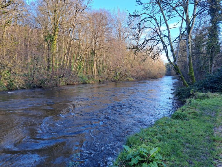
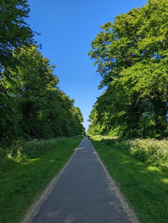
dublin to mullingar and back
Rota de Ciclismo
Salvar
Compartilhar
Incorporar
Copiar URL
Exportar TCX
Exportar GPX
Imprimir
Detalhes
226,24 km
1.452 m
TMCycle
Criado por
Tom Lenihan
30 de julho de 2014
·
Público
Rota e elevação
Segmentos
Nome
Distância
Dif. de elev.
Inclinação média
naas road sprint
0,63 km
4 m
0,7%
Kylemore to Roundabout
1,71 km
-6 m
-0,4%
Coldcut Road mini Hill Sprint.
0,31 km
4 m
1,2%
Coldcut Road to St. Lomans Road
0,42 km
-2 m
-0,4%
Under and Over
0,32 km
2 m
0,1%
LeixslipHill
0,75 km
21 m
2,3%
Leixlip Rise
0,55 km
20 m
3,6%
Leixlip Garda - Tesco
6,07 km
14 m
0,1%
Louisa Bridge - Interchange
0,79 km
-4 m
-0,2%
Kellystown to Maynooth outskirts
3,65 km
-10 m
-0,0%
Maynooth to Kilcock Straight
4,81 km
9 m
0,2%
Kilcock Canal Section
0,82 km
2 m
0,2%
Wee drags Kilcock-Garadice
5,00 km
58 m
1,2%
Kilcock to Summerhill
8,60 km
60 m
0,5%
Summerhill - Trim between the roundabouts
10,37 km
-41 m
-0,4%
Summerhill to Trim stretch
10,37 km
-33 m
-0,2%
Summerhill to church
1,67 km
-5 m
-0,3%
Summerhill - Trim between the roundabouts
2,86 km
-8 m
-0,2%
Trim to Athboy
10,87 km
21 m
0,0%
R154 Climb
1,85 km
106 m
5,7%
Trim to Athboy, Tullaghanoge Climb
0,66 km
20 m
2,8%
Crossakiel short climb
1,48 km
40 m
2,7%
TC Racing TT LoughCrew Route 1
1,12 km
22 m
1,9%
Loughcrew Ascent East
0,89 km
60 m
6,7%
Loughcrew Descent (West)
1,60 km
-78 m
-4,8%
Loughcrew to Oldcastle
5,62 km
-110 m
-1,9%
Cresley Cross
2,37 km
39 m
1,6%
mullingar finish
0,71 km
21 m
2,9%
Rhode to Edenderry
10,27 km
-38 m
-0,2%
Ascent out of Rhode
0,88 km
22 m
2,2%
Carbury to Allenwood
11,28 km
-15 m
-0,1%
Allenwood to Prosperous
7,16 km
14 m
0,1%
Prosperous to Clane R403
4,30 km
-32 m
-0,5%
Clane to Wolstans-Celbridge
9,82 km
-13 m
-0,1%
Clane Maxol to Barberstown Roundabout
5,83 km
10 m
0,1%
Ovidstown cross to Barberstown
2,08 km
10 m
0,1%
Barberstown to Wolstans Sprint
3,39 km
-13 m
-0,1%
R405 - R120
1,81 km
9 m
0,4%
Past Peamount Hospital
2,01 km
11 m
0,0%
R120 to R136
2,20 km
8 m
0,1%
R136 to Tower Road
2,38 km
-17 m
-0,7%
R136 to watery Lane
3,24 km
-23 m
-0,7%
Sprint: 1st Left Bus Stop to Bus stop.
0,42 km
-5 m
-1,3%
nangro road east
1,62 km
-7 m
-0,4%
Nangor Road Sprint
1,38 km
-6 m
-0,3%
Sprint. 1st LH Bus Stop to next LH Bus stop
0,65 km
-4 m
-0,2%
Nangor Road - Ninth Lock Road to Naas Road
2,81 km
-9 m
-0,2%
KFC to Bus stop
0,48 km
-3 m
-0,4%
Davitt Road sprint
1,40 km
-9 m
-0,6%
Inchicore to Suir Rd (inbound)
1,36 km
-6 m
-0,4%