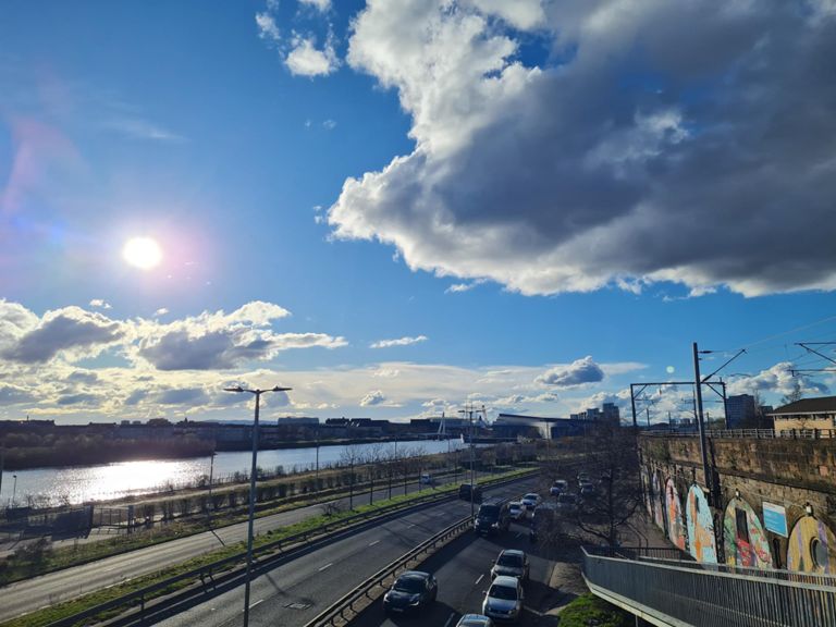
| Through the Park | 0.65 公里 | -10 公尺 | -1.0% |
| stobcross bridge | 0.12 公里 | -2 公尺 | -1.6% |
| Stobocross Sprint | 0.58 公里 | 4 公尺 | 0.1% |
| riverside road | 1.08 公里 | 6 公尺 | 0.4% |
| Transport museum | 0.59 公里 | 6 公尺 | 0.7% |
| South Primrose Rush | 0.75 公里 | -2 公尺 | -0.1% |
| The bowry tae tha langey come ahead! | 2.00 公里 | 8 公尺 | 0.2% |
| Tunnel-Clydebank path | 5.32 公里 | -9 公尺 | -0.0% |
| South street to lidl | 3.14 公里 | 8 公尺 | 0.0% |
| Burnham Bridge to Dock Street Challenge | 2.21 公里 | -10 公尺 | -0.2% |
| Back of Holm. | 0.42 公里 | 2 公尺 | 0.3% |
| Clyde Street Sprint | 0.53 公里 | -2 公尺 | 0.0% |
| Kilbowie Rd to Dalmuir cross (before lights) | 1.55 公里 | 7 公尺 | 0.3% |
| Dumbarton Road Canal To Bowling Canal | 2.60 公里 | 12 公尺 | 0.3% |
| Dalmuir to Kilpatrick Straights | 2.19 公里 | -4 公尺 | -0.0% |
| Benches to the bridge | 0.51 公里 | 3 公尺 | 0.2% |
| Erskine Bridge to Basin | 1.82 公里 | -15 公尺 | -0.0% |
| Three Taverns | 0.83 公里 | 7 公尺 | 0.2% |
| Dunglass Roundabout To Forth Avenue | 2.62 公里 | 11 公尺 | 0.2% |
| Fast past the petrol station | 0.52 公里 | -1 公尺 | -0.1% |
| Geils Avenue to Underpass | 0.49 公里 | -2 公尺 | -0.4% |
| Crosslet Rd to Underpass | 1.10 公里 | 4 公尺 | 0.1% |
| Crosslet Rd to Bowling Roundabout (Cycle Path) | 3.65 公里 | -11 公尺 | -0.1% |
| underpass to Geils Ave | 0.45 公里 | 3 公尺 | 0.1% |
| Fourth Avenue To Milton Burn | 1.59 公里 | -9 公尺 | -0.4% |
| Commute In | 11.14 公里 | -18 公尺 | -0.1% |
| Bowling cycle path west segment W-E | 2.61 公里 | 10 公尺 | 0.0% |
| milton sprint | 0.48 公里 | -4 公尺 | -0.9% |
| Last Chance Workout | 1.40 公里 | 5 公尺 | 0.1% |
| "hill" interval, lol | 0.77 公里 | 6 公尺 | 0.4% |
| Harbour to School | 0.98 公里 | 11 公尺 | 0.8% |
| Old Kilpatrick Dig | 0.54 公里 | 10 公尺 | 1.8% |
| Old Kilpatrick Mile | 1.65 公里 | -13 公尺 | -0.5% |
| Dalmuir To Kilbowie Road | 2.90 公里 | -9 公尺 | -0.1% |
| Duntocher Rd to Kilbowie Rd | 1.57 公里 | -5 公尺 | -0.1% |
| Beardmore Street to Hawick Street | 3.21 公里 | 7 公尺 | 0.0% |
| Kilbowie Road To Dumbarton Road | 3.24 公里 | 8 公尺 | 0.1% |
| North Elgin Street To Kelso Street | 1.26 公里 | -2 公尺 | -0.0% |
| Kelso Street To South Street | 1.11 公里 | 7 公尺 | 0.1% |
| South Street To Balmoral Sreet | 0.91 公里 | 10 公尺 | 0.1% |
| BAE to Byres Road (Dumbarton Road) | 4.30 公里 | 12 公尺 | 0.1% |
| Smash the Gremlin | 0.63 公里 | -5 公尺 | -0.6% |
| Balmoral Strret To Machargs | 1.05 公里 | -6 公尺 | -0.3% |
| Fore st to Edzell st | 0.40 公里 | 2 公尺 | 0.3% |
| Edzell to Squire | 0.30 公里 | -2 公尺 | -0.7% |
| Machargs To Castlebank Street | 1.13 公里 | -2 公尺 | -0.2% |
| Crow road to Byres Road | 0.76 公里 | 3 公尺 | 0.3% |
| byres road to fork | 0.65 公里 | 13 公尺 | 1.6% |
| Hospital to Fork | 0.43 公里 | 11 公尺 | 2.2% |
| Elderslie St Ramp | 0.17 公里 | 11 公尺 | 6.5% |


