
Mês passado

Mês passado


+ 107
Encanto To Klatch
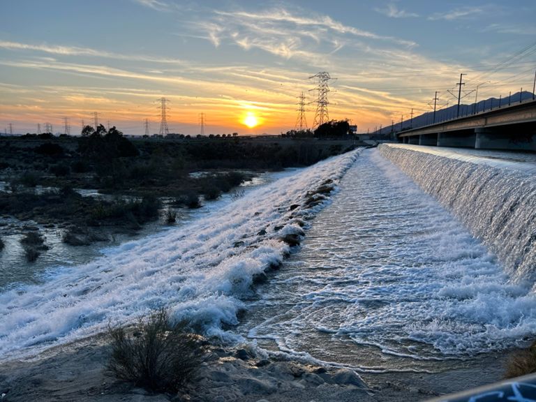
Rota de ciclismo
Moderado
23,92 milhas
742 pés
Easy ride to great coffee and back
Criado por
Stan Kim

Rota e elevação
Segmentos
| Nome | Distância | Dif. Elevação | Inclinação Média |
|---|---|---|---|
| Boomerang the bridge | 0,18 milhas | 13 pés | 1,4% |
| Sprint to the Path | 0,19 milhas | -7 pés | -0,5% |
| Reverse sprint the bridge | 0,16 milhas | 10 pés | 1,1% |
| HappyRock (Cerritos-Lone Hill) | 3,93 milhas | 308 pés | 1,5% |
| Lone Hill to Azuza | 4,46 milhas | -325 pés | -1,3% |
| Valley Center to Irwindale | 5,45 milhas | -354 pés | -1,2% |
| Sunflower to Glendora sprint | 0,94 milhas | -69 pés | -1,4% |
| Grand to Azuza | 1,78 milhas | -115 pés | -1,2% |
| Arrow Hwy Sprint | 0,88 milhas | -20 pés | -0,4% |
| Arrow West Coastin | 1,21 milhas | -39 pés | -0,6% |
| Arrow Sprint to Split | 0,79 milhas | -23 pés | -0,5% |
| Dam Sprint | 0,19 milhas | 52 pés | 5,4% |
| DAMN Climb! | 0,25 milhas | 72 pés | 5,3% |
| The (Correct) DAMN Climb! | 0,19 milhas | 75 pés | 7,4% |
| Just the Damn Climb | 0,21 milhas | 72 pés | 6,4% |
| santa fe dam climb | 0,19 milhas | 79 pés | 7,5% |
| Santa Fe Dam | 0,18 milhas | 59 pés | 5,9% |
| Santa Fe Dam to bridge | 5,02 milhas | 131 pés | 0,4% |
| Dam Top Reverse | 1,90 milhas | 7 pés | 0,1% |
| RC Flood Gate Sprint | 0,10 milhas | 13 pés | 0,4% |
| DAM TOP EASTBOUND - (ENDS AT BARRIERS BEFORE GAURD SHACK CROSSING) | 1,83 milhas | -13 pés | -0,1% |
| Top of Dam, Going East and North | 2,29 milhas | -43 pés | -0,1% |
| Damn Turn to Gate | 1,21 milhas | -10 pés | -0,2% |
| that dam climb | 0,17 milhas | 26 pés | 2,4% |
| Santa Fe Dam - Nature Center to bridge | 2,09 milhas | 115 pés | 1,0% |
| Coyote Alley Sprint | 0,41 milhas | 13 pés | 0,6% |
| Sprinting the Bridge | 0,17 milhas | 0 pés | 0,0% |
| Approaching the Bridge | 0,16 milhas | -10 pés | -1,2% |