


Mês passado


+ 12
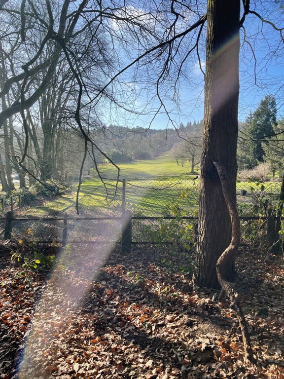
Lickeys > Romsley > Lickeys
Rota de ciclismo
Detalhes
41,01 milhas
3 601 pés
Is this a bit much for the week before?
Criado por
Neil A

Rota e elevação
Segmentos
| Nome | Distância | Dif. Elevação | Inclinação Média |
|---|---|---|---|
| Ravensbank Drive westward | 1,18 milhas | 33 pés | 0,4% |
| Ravens Bank Rise | 0,29 milhas | 23 pés | 1,5% |
| Church Hill North | 0,16 milhas | 75 pés | 8,9% |
| Carpenter's Hill | 0,51 milhas | 144 pés | 5,3% |
| POWER!!! | 0,96 milhas | -128 pés | -2,5% |
| Storage Lane Full Length | 1,66 milhas | 190 pés | 0,2% |
| Storrage AND Grange Climbs | 2,74 milhas | 276 pés | 1,8% |
| The Storrage Stinger | 0,74 milhas | 217 pés | 5,4% |
| Down Holloway | 0,33 milhas | -161 pés | -9,2% |
| Stoney & Grange Lane End to End (West) | 2,62 milhas | 272 pés | 1,2% |
| Cobley Hill to Tutnall | 1,36 milhas | -151 pés | -1,2% |
| The Stoney Drop | 0,86 milhas | -154 pés | -3,4% |
| Highway From Lickeys | 0,93 milhas | -151 pés | -3,0% |
| Woodrow down | 0,41 milhas | -66 pés | -3,0% |
| Catshill Rise | 0,37 milhas | -39 pés | -1,2% |
| FM Blast | 0,14 milhas | -3 pés | -0,3% |
| Bournheath to Fairfield | 0,78 milhas | 98 pés | 2,4% |
| bournheath | 0,49 milhas | 59 pés | 2,3% |
| Off to see Fran and Horris | 0,09 milhas | 13 pés | 2,8% |
| The greatest bike is a Whizzbike | 0,39 milhas | -59 pés | -2,2% |
| Romsey water tower extension | 1,81 milhas | 384 pés | 3,8% |
| Farley Lane Bottom to Peak | 0,84 milhas | 315 pés | 7,1% |
| JLG Farley Lane Lower | 0,52 milhas | 167 pés | 6,0% |
| Putney Lane to Day House | 0,32 milhas | -46 pés | -1,8% |
| Waseley wobbler | 0,56 milhas | 16 pés | 0,3% |
| short shallow climb past school | 0,32 milhas | 43 pés | 2,3% |
| Manor Lane | 0,19 milhas | 52 pés | 4,9% |
| Birmingham Ros | 0,31 milhas | -10 pés | -0,3% |
| Alvechurch Hwy short climb | 0,36 milhas | 79 pés | 4,1% |
| Lydiate Ash to the Monument | 1,19 milhas | 341 pés | 5,4% |
| Beacon Lane Rubery | 0,71 milhas | 236 pés | 6,2% |
| Monument Lane (Southbound) | 0,67 milhas | -30 pés | -0,9% |
| Rose Hill descent | 0,36 milhas | -56 pés | -3,0% |
| Cofton Hackett | 0,52 milhas | 82 pés | 3,0% |
| Barnt Green Road descent | 0,78 milhas | -230 pés | -5,4% |
| Kendal End Road Downhill | 0,53 milhas | -62 pés | -2,2% |
| Full Blackwell Climb | 0,35 milhas | 66 pés | 3,0% |
| Blackwell Road climb | 0,21 milhas | 46 pés | 4,1% |
| Blackwell Rd to Cobley Hill | 0,69 milhas | 102 pés | 2,8% |
| Scarfield Sprint | 0,47 milhas | 62 pés | 2,1% |
| Scarfield Hill Descent | 0,69 milhas | -194 pés | -5,1% |
| How brave are you feeling? | 1,21 milhas | -249 pés | -3,8% |
| Swan Street Climb | 0,18 milhas | 23 pés | 1,9% |
| The Holloway | 0,39 milhas | 154 pés | 7,4% |
| The Holloway and Storrage Lane | 1,69 milhas | 203 pés | 0,2% |
| Storrage Lane descent | 0,84 milhas | -197 pés | -4,4% |
| Ickenfield Straight and True | 0,72 milhas | -115 pés | -2,5% |
| Icknield Street Dash | 1,09 milhas | -79 pés | -0,6% |
| Icknield St Grind | 0,39 milhas | 39 pés | 1,9% |
| Sprint for the Line | 0,15 milhas | -30 pés | -3,5% |