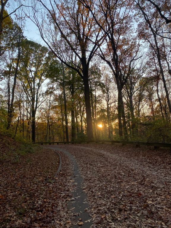
| Sherrill Dr NW | 0.34 mi | 98 ft | 5.5% |
| Sherrill Dr NW Climb | 0.33 mi | 92 ft | 5.2% |
| Sherrillllllll | 0.26 mi | 95 ft | 6.8% |
| Aspen Climb - First Hill | 0.28 mi | 98 ft | 6.4% |
| Sandy Spring to Carroll northbound | 0.18 mi | 26 ft | 2.7% |
| Maple Ave Northbound | 0.49 mi | -79 ft | -2.5% |
| Maple Avenue TT | 0.42 mi | -43 ft | -1.9% |
| Takoma Descent | 1.46 mi | -105 ft | -1.3% |
| MAPLE TO NEWHAMPSHIRE | 0.92 mi | -62 ft | -1.3% |
| Maple Ave. to Carol Ave. | 0.23 mi | -7 ft | -0.4% |
| Maple to New Hampshire | 0.97 mi | -59 ft | -1.1% |
| Sligo final downhill | 0.64 mi | -43 ft | -1.2% |
| Sligo Crk S. (Maple to New Hamps) | 0.83 mi | -95 ft | -1.9% |
| Carroll Ave. to New Hampshire Ave. | 0.71 mi | -49 ft | -1.3% |
| Carroll to Heather | 0.36 mi | -36 ft | -1.8% |
| new hampshire to east-west hiway | 0.67 mi | -36 ft | -1.0% |
| Sligo Crk S. (Riggs to Queens) | 1.54 mi | -36 ft | -0.4% |
| Sligo Pkwy Sprint | 0.33 mi | -16 ft | -0.4% |
| NorthWest Branch Sprint | 1.23 mi | -23 ft | -0.3% |
| NW Branch Trail - QC to RI | 1.09 mi | -30 ft | -0.1% |
| NorthWest Branch - 38th to RI | 0.49 mi | -16 ft | -0.1% |
| PS bridge to boardwalk up the hill | 0.24 mi | 10 ft | 0.1% |
| curving climbs at boardwalk | 0.42 mi | 23 ft | 1.0% |
| Anacostia Trail End South | 0.66 mi | 13 ft | 0.2% |
| ART - Beaverdam Creek to Nash Run | 0.52 mi | 7 ft | 0.1% |
| Stubborn Gravel | 0.90 mi | -13 ft | -0.0% |
| The Whole Way | 3.34 mi | -20 ft | -0.0% |
| Anacostia Riverwalk Trail - North Side | 1.18 mi | 16 ft | 0.1% |
| Anacostia Riverwalk Trail South, Tete Du Pont to Anacostia Drive | 0.88 mi | -10 ft | -0.0% |
| Anacostia Riverwalk Trail - Before E. Capitol St., NE at Y to End of Anacostia Riverwalk Trail/S. Capitol (on road) | 2.82 mi | -26 ft | -0.2% |
| Bridge Back towards Stadium | 0.26 mi | -10 ft | -0.1% |
| Anacostia R. East 2 West- Crosswalk to Turnoff | 1.85 mi | 7 ft | 0.0% |
| anacostia east-west trailstart to good hope | 1.21 mi | -10 ft | -0.1% |
| Anacostia downstream - Before Penn - Poplar | 1.46 mi | 13 ft | 0.1% |
| Anacostia Drive Penn to S Cap | 1.40 mi | -13 ft | -0.2% |
| ART - Good Hope to Frederick Douglass Bridge | 0.54 mi | 10 ft | 0.3% |
| s capitol bridge: north | 0.35 mi | -23 ft | -0.3% |
| Ohio Drive | 0.68 mi | 0 ft | 0.0% |
| Ohio II | 0.60 mi | 3 ft | 0.0% |
| Rock Creek Park Trail (Basin Bridge to Memorial Bridge) | 0.76 mi | 16 ft | 0.3% |
| Afternoon Rock Creek Rush | 1.14 mi | 7 ft | 0.1% |
| 4th of July Intervals | 0.20 mi | 0 ft | 0.1% |
| Lincoln to Watergate - Rock Creek | 0.96 mi | 7 ft | 0.0% |
| Thomas Jefferson Climb | 0.16 mi | 46 ft | 5.2% |


