Strava
Móvil
Características
Suscribirse
Mapas
Historias
Suscribirse
Iniciar sesión
+ 38
BR3_2
Ruta ciclística
Guardar
Compartir
Insertar
Copiar URL
Exportar en TCX
Exportar en GPX
Imprimir
Moderada
42.26 mi
1,389 ft
San Ramon via Niles Canyon
Creada por
Pete MacKay
1 de mayo de 2017
·
Público
Ruta y desnivel
Segmentos
Nombre
Distancia
Diferencia de altitud
Pendiente media
San Tomas [NB] (El Camino to Monroe)
0.70 mi
-20 ft
-0.5 %
San Tomas Aquino Creek Trail - Monroe to Agnew
1.79 mi
-33 ft
-0.2 %
Bike Path: Monroe - Scott
1.01 mi
-30 ft
-0.3 %
Scott to Agnew
0.76 mi
-16 ft
-0.0 %
Don't miss the train
0.31 mi
7 ft
0.1 %
Lafayette St - Lick Mill
0.24 mi
-30 ft
-2.3 %
Headquarters/Holger EB
0.98 mi
10 ft
0.0 %
Holger Sprint (Eastbound)
0.45 mi
-7 ft
-0.0 %
Zanker Rd - 237 bump to 1st stop light
0.10 mi
16 ft
2.7 %
Reverse Zanker Roubaix
0.38 mi
-7 ft
-0.3 %
Zanker to McCarthy - northside
1.01 mi
23 ft
0.1 %
N McCarthy Blvd (Northbound)
2.20 mi
-16 ft
-0.1 %
Avoid the Dumptrucks!
0.21 mi
13 ft
1.0 %
California Cir - Milpitas Blvd
0.53 mi
20 ft
0.2 %
Dixon Landing Dr Sprint
0.22 mi
-10 ft
-0.6 %
Construction: Faster then a Car
0.27 mi
16 ft
0.9 %
Warm Springs - Northbound
1.70 mi
36 ft
0.2 %
Spin A Yarn Steakhouse Sprint
0.65 mi
-30 ft
-0.0 %
WDC Sprint
0.47 mi
-16 ft
-0.7 %
Osgood - Grim to Wash'
2.06 mi
62 ft
0.5 %
Fry's to Blacow
0.91 mi
36 ft
0.6 %
Osgood, Fry's to Washington
1.26 mi
39 ft
0.5 %
Osgood-Washington uphil light
0.24 mi
16 ft
1.2 %
Driscoll to Mowry
2.40 mi
-43 ft
-0.2 %
Driscoll to Stevenson
0.96 mi
-30 ft
-0.6 %
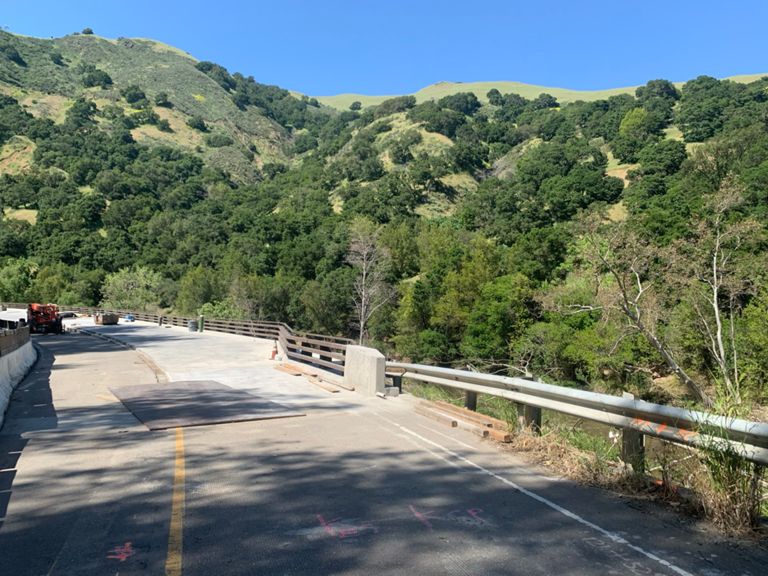
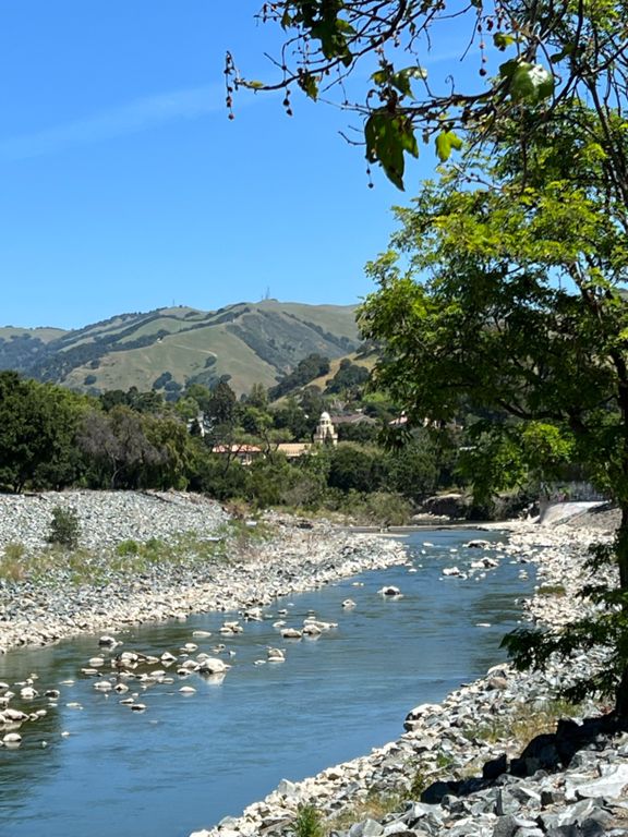
Niles Canyon, East (safe)
6.18 mi
171 ft
0.5 %
Niles east, Old Canyon to Sunol underpass
5.96 mi
167 ft
0.5 %
Mission to Palomares
1.91 mi
59 ft
0.6 %
Niles Canyon East (Palomares to Sunol)
3.91 mi
108 ft
0.5 %
Sunol Train Station to Bernal
4.92 mi
112 ft
0.4 %
Sunol Train Station uphill climb long
1.38 mi
115 ft
0.5 %
Sunol / Foothill Mini-KOM
0.61 mi
108 ft
3.2 %
Foothill Rd from Sunol up and over
1.36 mi
118 ft
0.1 %
Foothill Rd - Sunol, Bond St to Pleasanton, Stoneridge Dr
7.54 mi
187 ft
0.2 %
Sunol to Castlewood
3.11 mi
105 ft
0.2 %
THE COUNTRY LANE PUSH
0.41 mi
23 ft
0.8 %
Foorhill - Castlewood to Bernal
1.41 mi
36 ft
0.4 %
Foothill Bernal to peak
1.10 mi
98 ft
1.6 %
Foothill Rd — Bernal Av. to Stoneridge Rd.
2.72 mi
95 ft
0.2 %
Foothill Bernal 2 Las Positas
1.58 mi
89 ft
0.7 %
Attack Attack Attack
0.12 mi
26 ft
4.1 %
Muir Wood to Dublin Canyon Way
1.26 mi
79 ft
0.0 %
Foothill rd to Muirwood uphill attack
0.33 mi
66 ft
3.6 %
The steep section
0.19 mi
66 ft
6.5 %
Reverse Pleasanton Sprint
0.26 mi
30 ft
2.0 %
Silvergate Dr to Alcosta Blvd
1.00 mi
52 ft
1.0 %
SRV Blvd Shannon to Alcosta
0.53 mi
33 ft
1.2 %
san ramon valley blvd
2.77 mi
56 ft
0.3 %
SRV Blvd 680 ramp to PV
0.85 mi
-16 ft
-0.2 %
SRV - Montevideo to Harness
0.86 mi
23 ft
0.1 %