


+ 74
Kent Lake Loop
Rota de ciclismo
Detalhes
34,81 milhas
4 442 pés
Did this on 5/7
Criado por
Simon Dunne
Rota e elevação
Segmentos
| Nome | Distância | Dif. Elevação | Inclinação Média |
|---|---|---|---|
| Bolinas to Hwy 1 | 1,66 milhas | -39 pés | -0,4% |
| Bolinas-Fairfax f/ Hwy1 to Ridgecrest | 4,12 milhas | 1 496 pés | 6,8% |
| BoFax Reguardless | 4,13 milhas | 1 490 pés | 6,8% |
| Bofax Climb - Garmin Fail | 4,16 milhas | 1 480 pés | 6,7% |
| BoFax-Rigecrest | 3,97 milhas | 1 509 pés | 7,2% |
| BoFax climb to car park | 3,95 milhas | 1 434 pés | 6,9% |
| BoFax Climb | 3,93 milhas | 1 486 pés | 7,1% |
| BoFax Steep Bottom | 1,14 milhas | 486 pés | 8,0% |
| Bolinas Ridge Trail Climb | 0,83 milhas | 341 pés | 7,7% |
| BoFax Upper Half | 2,77 milhas | 912 pés | 6,2% |
| Bofax (just the tip) | 1,20 milhas | 436 pés | 6,9% |
| Bofax Last Mile before Ridgecrest | 1,07 milhas | 351 pés | 6,2% |
| Bolinas Fairfax Rd Climb | 0,61 milhas | 240 pés | 7,0% |
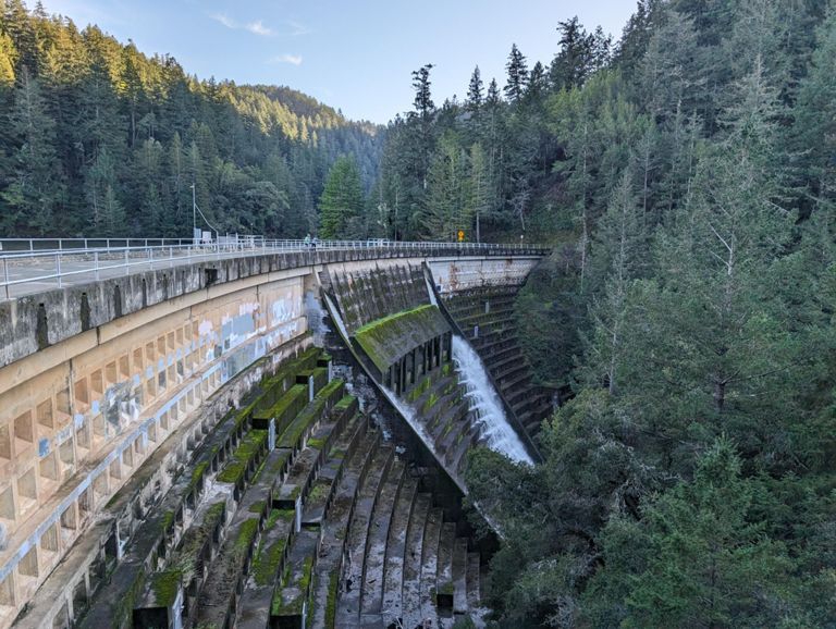
| Alpine Dam Clockwise Descent | 2,07 milhas | -771 pés | -7,0% |
| Ridgecrest to Middle Alpine Dam DH | 2,22 milhas | -869 pés | -7,3% |
| Bofax Rd at Ridgecrest to Alpine Dam | 2,42 milhas | -876 pés | -6,8% |
| ridge crest to cataract falls dh | 1,97 milhas | -778 pés | -7,5% |
| 3 Corners to Damn | 2,21 milhas | -817 pés | -7,0% |
| Alpine dam to old vee | 2,17 milhas | -115 pés | -1,0% |
| Alpine Dam to Kent Lake | 4,12 milhas | -233 pés | -1,0% |
| end of Nail to Pine Mtn | 4,17 milhas | 909 pés | 4,1% |
| Nail to Old Vee | 1,20 milhas | 7 pés | 0,1% |
| Old Vee Climb | 1,13 milhas | 699 pés | 11,7% |
| old vee to pine mnt fireroad | 2,78 milhas | 843 pés | 5,7% |
| Upper oat hill | 1,69 milhas | 151 pés | 1,7% |
| Old Vee Out | 2,70 milhas | -341 pés | -1,1% |
| Oat Hill Kicker | 0,25 milhas | 118 pés | 8,7% |
| Pine Mountain Fire Rd | 0,22 milhas | -164 pés | -14,0% |
| Tam Cen rest stop 2 Westridge T (gt) | 6,57 milhas | 837 pés | 1,2% |
| Pine Mt to Alpine Dam | 4,04 milhas | -423 pés | -2,0% |
| BoFax Dip | 1,10 milhas | -295 pés | -5,0% |
| Alpine Lake Rollers 2.5 miler Southbound | 2,46 milhas | -118 pés | -0,1% |
| Bolinas Bump #1 | 0,35 milhas | 89 pés | 4,7% |
| Last Dam Kicker | 0,54 milhas | 118 pés | 3,9% |
| Bolinas Bump #2 | 0,36 milhas | 105 pés | 5,5% |
| End of Alpine Sprint | 1,18 milhas | -197 pés | -3,0% |
| End of Alpine Sprint | 1,18 milhas | -197 pés | -3,0% |
| full dam to sign | 2,48 milhas | 833 pés | 6,3% |
| Full Dam to Ridgecrest | 2,44 milhas | 827 pés | 6,4% |
| Alpine Dam to Ridgecrest | 2,14 milhas | 804 pés | 7,1% |
| alpine dam to intersection | 1,98 milhas | 919 pés | 8,5% |
| Alpine Dam - Ridgecrest | 1,77 milhas | 715 pés | 7,6% |
| Alpine Dam to Ridgecrest Climb | 2,01 milhas | 820 pés | 7,7% |
| Alpine 1st switchback to ridgecrest | 2,08 milhas | 807 pés | 7,3% |
| Bolinas DH | 3,94 milhas | -1473 pés | -6,9% |
| Ridgecrest DH | 4,22 milhas | -1447 pés | -6,5% |
| Bolinas descent | 4,28 milhas | -1476 pés | -6,5% |
| Hwy 1 to Mesa Rd | 1,61 milhas | 33 pés | 0,4% |
| Hwy 1 to Horseshoe Hill Rd | 1,06 milhas | 16 pés | 0,1% |
| Mesa Uphill | 0,28 milhas | 125 pés | 8,3% |