


+ 12
Sun 18th
骑行路线
详情
75.37英里
3,995英尺
75 miles
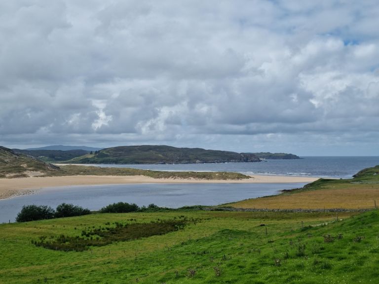
Thurso - Armadale - Bettyhill - Loch Naver - Achnairn (Woodend Caravan & Campsite)
Thurso - Armadale - Bettyhill - Loch Naver - Achnairn (Woodend Caravan & Campsite)
创建者
Mairi D

路线和海拔
路段
| 名字 | 距离 | 海拔高度差 | 平均坡度 |
|---|---|---|---|
| CCC Starting straight | 3.76英里 | 105英尺 | 0.1% |
| halkirk turnoff | 0.72英里 | 49英尺 | 1.3% |
| Escape from Thurso | 3.66英里 | 89英尺 | 0.0% |
| Shebster 10m TT out | 5.25英里 | 141英尺 | 0.1% |
| Climb to Shebster | 3.51英里 | 138英尺 | 0.4% |
| Westfield to Shebster Climb | 2.63英里 | 135英尺 | 1.0% |
| Westfield hill sprint (heading out to reay) | 0.43英里 | 59英尺 | 2.6% |
| Westfield to Reay | 4.94英里 | -194英尺 | -0.4% |
| Reay Climb | 2.14英里 | 279英尺 | 2.4% |
| Reay to Bettyhill | 18.68英里 | 505英尺 | 0.2% |
| Melvich west | 1.32英里 | 200英尺 | 2.8% |
| A836 Climb | 0.80英里 | 266英尺 | 6.2% |
| Strathy west | 0.82英里 | 259英尺 | 5.9% |
| Armadale west | 2.26英里 | 430英尺 | 3.4% |
| A836 Climb | 0.90英里 | 295英尺 | 6.2% |
| Bettyhill West | 0.48英里 | 164英尺 | 6.3% |
| B871 Climb | 1.62英里 | 413英尺 | 4.8% |
| B873 Climb | 0.68英里 | 292英尺 | 8.1% |
| B873 Climb | 1.51英里 | 374英尺 | 4.7% |
| B873 Climb | 0.39英里 | 417英尺 | 19.8% |
| altnaharra - crask | 7.54英里 | 584英尺 | 1.5% |
| The bend to the bridge | 5.43英里 | 338英尺 | 1.1% |
| Altnaharra to peak | 6.20英里 | 551英尺 | 1.7% |
| A to Peak | 5.93英里 | 545英尺 | 1.7% |
| A836 Climb | 1.35英里 | 312英尺 | 4.4% |
| Crask mid-climb | 3.30英里 | 167英尺 | 1.0% |
| Segment | 0.49英里 | 440英尺 | 17.0% |