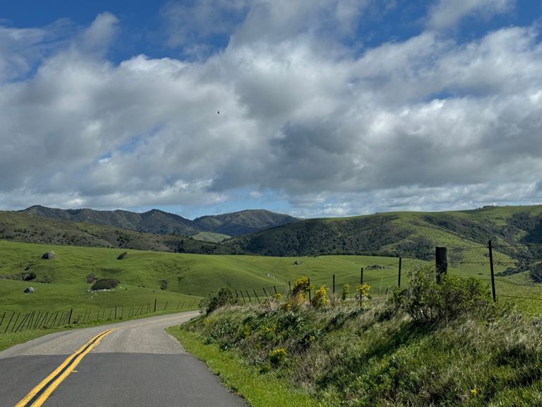
| UnPlesant | 1.38 km | 16 m | 0.7% |
| Bloomfield (Canfield to Valley Ford Rd) | 6.42 km | -103 m | -0.5% |
| Bloomfield Rd Hill east | 1.45 km | 69 m | 4.8% |
| Sprint from Bloomfield | 1.63 km | -10 m | -0.0% |
| Gericke Rd from the last white barn to the smooth pavement | 1.31 km | 75 m | 5.3% |
| Gericke Rd. Hill (last white barn to smooth pavement at the top) | 1.14 km | 68 m | 5.9% |
| Peacock time trial | 2.69 km | -65 m | -2.4% |
| Dillon Beach Rd Climb | 1.92 km | 80 m | 4.2% |
| Tomales to Marshall | 10.79 km | 35 m | 0.1% |
| Tomales Wind Tunnel | 2.84 km | -6 m | -0.1% |
| Hamlet Kicker before Nick's | 1.05 km | 12 m | 0.3% |
| SCBC Rest Stop 3 to 4 | 25.59 km | 243 m | 0.4% |
| Marshall Kicker | 0.57 km | -27 m | -2.3% |
| Marshall Wall [Eastbound] | 5.02 km | 226 m | 4.5% |
| bottom Marshall Petaluma Hill | 2.30 km | 148 m | 6.4% |
| Marshall Petaluma Rd West Side | 4.60 km | 227 m | 4.9% |
| Marshall Wall East ( just the climb ) | 4.43 km | 225 m | 5.1% |
| Marshall-Chileno Valley | 21.57 km | 202 m | 0.2% |
| Start of Marshal Wall to Rest Stop 4 | 19.85 km | 210 m | 0.4% |
| Marshall wall East bound DH | 4.32 km | -150 m | -1.3% |
| Marshall Petaluma Hill | 1.55 km | 90 m | 5.7% |
| Marshall Wall east bound DH | 2.57 km | -147 m | -5.6% |
| Marshall Wall Eastbound Descent | 2.48 km | -147 m | -5.8% |
| between the walls | 10.41 km | 70 m | 0.4% |
| Bici Sport Wilson Hill Time Trial | 1.11 km | 93 m | 8.3% |
| Wilson Hill | 1.14 km | 94 m | 8.3% |
| Wilson to Chileno Valley | 3.88 km | -157 m | -1.9% |
| The Stubbs DH | 1.49 km | -123 m | -8.1% |
| Whites Summit to Chileno Valley Rd DH | 2.82 km | -153 m | -5.4% |
| Chileno - Bodega - Tomales | 15.38 km | -77 m | -0.3% |
| Wilson Chill to J Ranch | 10.08 km | -35 m | -0.1% |
| chileno 20mins | 12.61 km | 43 m | 0.2% |
| Chileno Valley Rd from Wilson Hill Rd to Tomales Rd | 15.18 km | -74 m | -0.3% |
| Chileno last descent to Tomales-Petaluma rd | 13.55 km | -49 m | -0.2% |
| Chileno - School to Yellow | 4.31 km | -11 m | -0.1% |
| Chileno Rollers, Dolcini to Jacobsen | 8.24 km | -34 m | -0.4% |
| Chile rellenos climb | 2.40 km | 42 m | 1.7% |
| Chileno Roller Coaster Ride | 2.53 km | -77 m | -3.0% |
| Carmody Road Climb | 2.89 km | 75 m | 2.6% |
| Roblar to Canfield | 4.72 km | 32 m | 0.7% |
| Canfield to Blank | 1.59 km | 29 m | 1.6% |
| Bloomfield Rd Hill northbound to Kennedy Rd | 1.10 km | 53 m | 4.8% |
| Tim's Sprint | 0.34 km | 4 m | 0.3% |
| Cemetery Lawn | 0.78 km | -13 m | -0.1% |
| Pleasant Hill Burst | 0.46 km | 10 m | 1.4% |
| Pac Market to Safeway DH | 0.81 km | -26 m | -3.2% |


