
Mês passado


+ 86
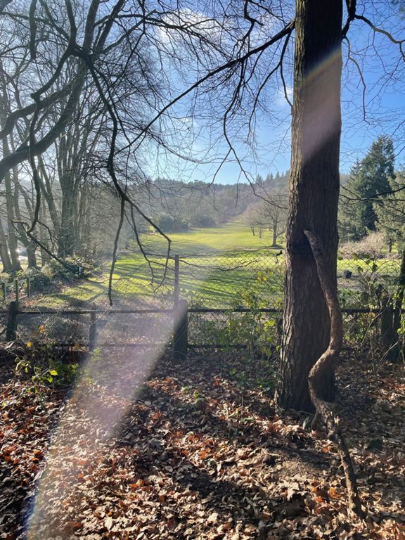
52 mile run
Rota de ciclismo
Detalhes
52,17 milhas
3 283 pés
52 Miles - Same Elevation Climb as Bikeathon
Criado por
Stuart M

Rota e elevação
Segmentos
| Nome | Distância | Dif. Elevação | Inclinação Média |
|---|---|---|---|
| School Road HC | 0,44 milhas | 72 pés | 3,0% |
| Peterbrook Lane | 1,25 milhas | -56 pés | -0,3% |
| Peterbrook Rd - Aqueduct to Truemans Heath Lane | 0,47 milhas | 30 pés | 1,1% |
| Tidbury Green dash! | 0,78 milhas | 36 pés | 0,9% |
| Craft Centre Sprint | 0,90 milhas | -56 pés | -0,9% |
| Springbrook Lane | 0,52 milhas | 46 pés | 0,2% |
| Gold Rush Reverse! | 0,53 milhas | -39 pés | -0,5% |
| Leg Sapper | 0,64 milhas | 85 pés | 2,5% |
| Weatheroak Hill Descent | 0,28 milhas | -89 pés | -6,0% |
| Weatheroak descent the steep bit | 0,20 milhas | -98 pés | -9,1% |
| Weatheroak to Alvechurch blast | 1,93 milhas | -131 pés | -1,0% |
| A441 Climb | 0,43 milhas | 23 pés | 0,1% |
| coopers hill climb | 0,43 milhas | 128 pés | 5,6% |
| A to B U-bend | 0,34 milhas | -26 pés | -0,5% |
| Hewell Lane | 0,22 milhas | 66 pés | 5,6% |
| Hewell Ln to top of Twatling Rd | 1,30 milhas | 249 pés | 3,6% |
| Hewell love this | 0,18 milhas | 39 pés | 3,9% |
| Fiery Twatling | 1,38 milhas | 246 pés | 3,4% |
| Twatling stretch | 0,31 milhas | 49 pés | 3,0% |
| Cherry Hill Road to Lickey Square | 0,67 milhas | 118 pés | 3,3% |
| beacon hilltop sprint | 0,42 milhas | 26 pés | 0,6% |
| Rose Hill descent | 0,64 milhas | -220 pés | -6,4% |
| Rose Hill descent | 0,36 milhas | -56 pés | -3,0% |
| Oak Tree Climb | 0,20 milhas | -23 pés | -0,6% |
| Groveley UpAndDown | 0,52 milhas | -121 pés | -3,2% |
| Bangers n Mash / Better Lick The Plate... | 0,92 milhas | 89 pés | 0,4% |
| BUOTC Kings Norton Parsons Hill | 0,27 milhas | 79 pés | 5,3% |
| Longsdale to Redhill upwards | 1,26 milhas | 79 pés | 0,9% |
| Brockhill Lane southbound | 0,98 milhas | -59 pés | -0,8% |
| Hill Lane | 0,80 milhas | -85 pés | -1,5% |
| Becketts to Station | 0,86 milhas | -39 pés | -0,9% |
| Station Road Short | 0,68 milhas | -33 pés | -0,9% |
| Hollywood Dip North | 0,85 milhas | 33 pés | 0,1% |
| Highters Heath Humps | 0,60 milhas | -20 pés | -0,6% |
| Billesley Common Pass 1 | 0,49 milhas | 33 pés | 0,9% |
| Bogged Up | 0,28 milhas | 23 pés | 0,4% |
| Yardley Wood Road Down and Up | 0,57 milhas | 46 pés | 0,9% |
| Salisbury Down | 0,65 milhas | -79 pés | -2,3% |
| Cannon Hill Dash Reverse | 0,67 milhas | -33 pés | 0,0% |
| Oakfield Dash West | 0,65 milhas | 36 pés | 0,5% |
| Gun Barrels to Priory Rd | 0,85 milhas | -20 pés | -0,1% |
| Priory Road Hill Climb ML | 0,45 milhas | 85 pés | 3,6% |
| Harborne Road Flick v2 | 0,25 milhas | 33 pés | 1,4% |
| Hagley Road W to E 2 | 0,12 milhas | 0 pés | 0,0% |
| Hagley Road W to E 3 | 0,31 milhas | -20 pés | -1,1% |
| Underneath Five Ways | 0,23 milhas | -36 pés | -2,5% |
| The Broad Street Work Dash | 0,56 milhas | -59 pés | -1,9% |
| Broad Street | 0,56 milhas | -33 pés | -0,9% |
| Hill street reverse | 0,21 milhas | -26 pés | -1,6% |
| Hurst street reverse | 0,31 milhas | -46 pés | -2,7% |