Mês passado

Mês passado


+ 67
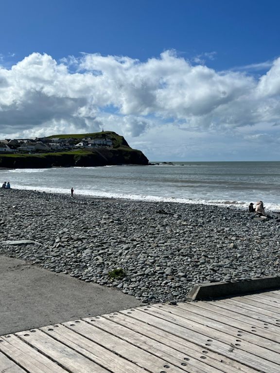
Y Diafol (Welsh Wild West 2015)
Rota de ciclismo
Detalhes
42,11 milhas
3 419 pés
Y Diafol (Welsh Wild West 2015)
Criado por
Aber Cycle Fest

Rota e elevação
Segmentos
| Nome | Distância | Dif. Elevação | Inclinação Média |
|---|---|---|---|
| Penglais Hill Climb to Vis Centre | 0,47 milhas | 174 pés | 7,0% |
| North Road to Borth Mini Roundabout | 5,69 milhas | -427 pés | -0,1% |
| Y Corach - Penglais Climb | 1,11 milhas | 400 pés | 6,8% |
| Penglais | 0,61 milhas | 262 pés | 8,1% |
| Penglais Hill Climb Ystwyth CC | 0,71 milhas | 292 pés | 7,7% |
| INTRtri Clarch Hill Reps Glanwern | 0,42 milhas | 92 pés | 4,1% |
| Bryn Porthangel a Bryn Hir | 1,22 milhas | 236 pés | 3,7% |
| Llangorwen - Upper Borth | 2,22 milhas | 338 pés | 2,9% |
| B4572 | 0,36 milhas | 82 pés | 3,9% |
| B4572 descent into Borth | 0,66 milhas | -351 pés | -10,0% |
| Borth to Ynyslas | 2,10 milhas | -39 pés | -0,0% |
| Golf Club to Tre Ddol | 4,74 milhas | 66 pés | 0,2% |
| Borth Golf Course Mile | 1,04 milhas | 10 pés | 0,1% |
| Borth Golf Course Straight | 1,00 milhas | -7 pés | -0,1% |
| From coast to inland | 2,65 milhas | 49 pés | 0,1% |
| Tre Ddol - Talybont | 1,60 milhas | 171 pés | 1,9% |
| Tre Ddol to Tal y bont | 1,75 milhas | 171 pés | 1,7% |
| Taliesin - Talybont | 1,10 milhas | 131 pés | 2,1% |
| Cote de la Cefn Erglodd | 0,70 milhas | 131 pés | 3,1% |
| Black Lion Fields Climb | 0,77 milhas | 295 pés | 7,3% |
| Black Fields Hill Rep [AC] | 0,63 milhas | 262 pés | 7,7% |
| Bont-goch | 1,46 milhas | 194 pés | 2,1% |
| A44 Climb | 1,10 milhas | 289 pés | 4,9% |
| A44 Climb | 0,75 milhas | 269 pés | 6,7% |
| Nant-y-Moch to Ponterwyd | 3,97 milhas | -121 pés | -0,6% |
| Up from the Dam | 0,61 milhas | 167 pés | 5,2% |
| Dinas Dash | 0,18 milhas | 69 pés | 5,8% |
| Ponterwyd to Aberystwyth | 10,63 milhas | -1024 pés | -1,3% |
| A44 (Talwryn) | 1,99 milhas | 266 pés | 2,5% |
| devils bridge to aber | 10,36 milhas | -1033 pés | -1,6% |
| Nant yr Arian to Lovesgrove TT descent | 6,42 milhas | -1001 pés | -2,9% |
| A44 Nant yr Arian - Capel Bangor Descent | 4,23 milhas | -915 pés | -4,1% |
| Nant Yr Arian to LLanbadarn Fawr | 8,02 milhas | -883 pés | -2,1% |
| Nant Yr Arian to LLanbadarn Fawr | 7,97 milhas | -873 pés | -2,0% |
| Maes Bangor to Lovesgrove | 2,00 milhas | -85 pés | -0,8% |
| A44 to Aber | 2,84 milhas | -56 pés | -0,3% |
| Lovesgrove To Llanbadarn Roundabout | 2,16 milhas | -49 pés | -0,2% |