
Últimas duas semanas

Mês passado

Mês passado

Mês passado

+ 149
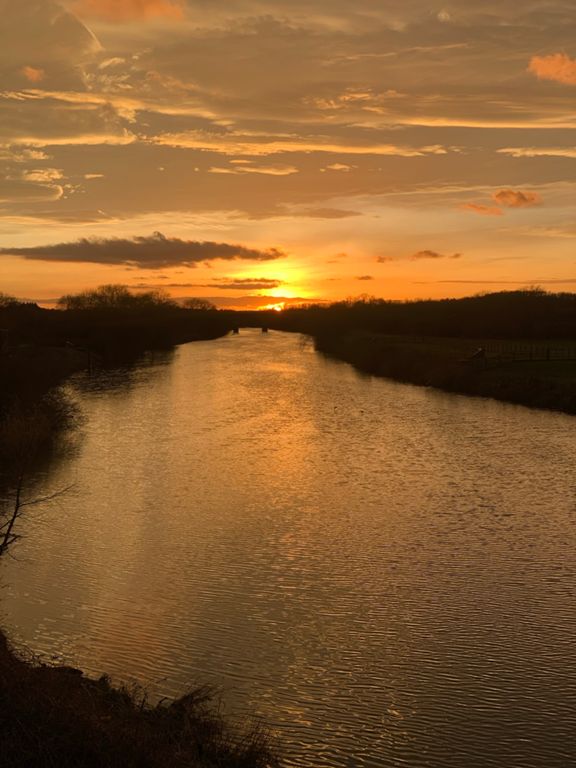
20 miler
Rota de ciclismo
Detalhes
20,45 milhas
626 pés
Home-Whitwood-Methley-Holbeck-Home
Criado por
Olivia J

Rota e elevação
Segmentos
| Nome | Distância | Dif. Elevação | Inclinação Média |
|---|---|---|---|
| Cheers | 0,23 milhas | -49 pés | -4,0% |
| Newton Lane - Rooks Nest Road Down | 0,88 milhas | -128 pés | -2,8% |
| Rooks nest to lime pit | 0,32 milhas | -16 pés | -1,0% |
| Aire & Calder canal path sprint | 1,63 milhas | -36 pés | -0,1% |
| Aire & Calder canal path sprint | 1,63 milhas | -36 pés | -0,1% |
| Phil Newbould’s speed test | 0,84 milhas | -13 pés | -0,1% |
| Altofts Canal East | 0,80 milhas | -16 pés | -0,2% |
| bench to bridge sprint | 0,21 milhas | 16 pés | 1,1% |
| Canal mudbath | 1,21 milhas | -20 pés | -0,2% |
| Canal mudbath | 1,21 milhas | -20 pés | -0,2% |
| Pit Lane | 0,26 milhas | -20 pés | -0,7% |
| Methley Mountain | 0,73 milhas | 26 pés | 0,5% |
| Bridge To Station Rd Exit | 0,33 milhas | -20 pés | -0,4% |
| Far bridge to lock | 1,42 milhas | -23 pés | -0,2% |
| Station road to boatyard | 0,89 milhas | -16 pés | -0,1% |
| Refinery to Woodlesford Locks | 1,01 milhas | 13 pés | 0,3% |
| Woodlesford Lock to Fishpond Lock (Bullough Lane) | 0,88 milhas | 33 pés | 0,3% |
| Queen Street Mini Climb | 0,24 milhas | 26 pés | 2,0% |
| light to light, stourton - rothwell | 1,03 milhas | 135 pés | 2,2% |
| Leeds Valley Park climb | 0,51 milhas | 85 pés | 3,2% |
| Stourton CLimb | 0,73 milhas | 125 pés | 3,3% |
| Jawbones to Motorway | 2,27 milhas | 62 pés | 0,3% |
| Wood Lane to Middleton Lane | 0,60 milhas | 39 pés | 1,0% |
| Jawbone to lights | 0,99 milhas | -33 pés | -0,0% |
| Lights To Angel | 0,63 milhas | 43 pés | 1,0% |
| Halfway House Sprint | 0,20 milhas | -23 pés | -2,0% |
| A61 Robin Hood to Outwood | 1,81 milhas | -79 pés | -0,0% |
| A61 to Gardners Arms | 0,32 milhas | 52 pés | 3,0% |
| Leeds Rd to Jumbles Ln. | 0,26 milhas | -20 pés | -1,5% |
| A Rough-Stuff-Type Deal | 0,51 milhas | 30 pés | 1,1% |
| Golf Club to Lights | 0,44 milhas | -98 pés | -3,2% |
| 5 pub sprint | 0,75 milhas | 49 pés | 0,2% |
| co-op to moxon street up | 0,23 milhas | 39 pés | 3,2% |
| Co-op climb and descent to Victoria pub | 0,61 milhas | 39 pés | 0,3% |