Strava
Móvel
Recursos
Assinar
Mapas
Histórias
Inscreva-se
Fazer login
+ 13
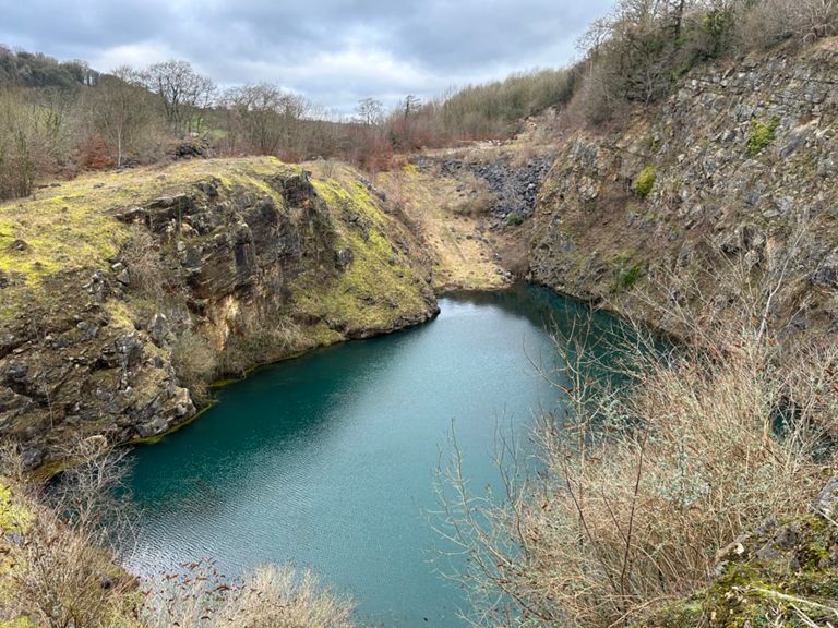
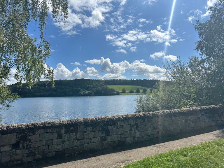
Ashover circuit
Rota de Ciclismo
Salvar
Compartilhar
Incorporar
Copiar URL
Exportar TCX
Exportar GPX
Imprimir
Detalhes
20,97 mi
1.844 pés
90 minute
Criado por
Simon Collins
20 de junho de 2017
·
Público
Rota e elevação
Segmentos
Nome
Distância
Dif. de elev.
Inclinação média
Higham to Tibshelf through Morton
3,04 mi
-187 pés
-0,4%
The Higham shuffle
1,26 mi
-118 pés
-1,3%
The Greyhound to the promised land
2,59 mi
-177 pés
-0,7%
Mickley lane end to morton
0,87 mi
-39 pés
-0,2%
Higham Ln short power climb
0,12 mi
20 pés
2,9%
Morton top to Tibshelf roundabout
1,70 mi
125 pés
0,2%
Morton to the van house
0,64 mi
62 pés
1,9%
Morton to Tibshelf
2,00 mi
220 pés
2,0%
Doe Hill lane
1,04 mi
118 pés
2,1%
Tibshelf School sprint 2014
0,22 mi
36 pés
3,0%
Col du Tibshelf
1,14 mi
151 pés
2,5%
Tibshelf roundabout to roundabout
0,81 mi
92 pés
2,1%
Tibshelf to Holmewood
3,09 mi
-125 pés
-0,6%
Tibshelf to Mansfield road
3,61 mi
-174 pés
-0,8%
Tibshelf road short section
1,58 mi
-95 pés
-1,0%
Holmewood to Testing Station
0,96 mi
-49 pés
-1,0%
birkin lane rollercoaster
1,02 mi
-92 pés
-0,3%
hagg hill hammer
0,47 mi
-118 pés
-4,6%
Hagg Hill Rollercoaster
0,53 mi
-108 pés
-3,8%
round about to wingy lido
0,93 mi
46 pés
0,3%
nethermoor from round about
0,21 mi
26 pés
2,2%
birkin ln to long ln jct
2,18 mi
489 pés
4,0%
Birkin Ln Climb
0,70 mi
335 pés
9,0%
Ivyspring Wood
1,33 mi
384 pés
5,5%
Pub 2 Pub
0,87 mi
-105 pés
-1,3%
Hardmeadow Drop
0,73 mi
-115 pés
-3,0%
Quarry lane steady climb
0,27 mi
49 pés
2,5%
Past Oggy to the Church
0,96 mi
49 pés
0,1%
Smooth as Butter
0,93 mi
-69 pés
-0,7%
Climb to Higham
0,36 mi
180 pés
9,3%
Climb to Higham (Just the Climb)
0,31 mi
151 pés
9,1%