


+ 5
Tuesday Cyclones - Short
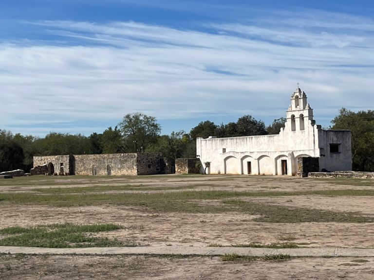
Cycling Route
Details
23.92 mi
677 ft
24 Miles
Created By
James Sargent

Route and Elevation
Segments
| Name | Distance | Elev. Diff. | Avg. Grade |
|---|---|---|---|
| Mission Pkwy S | 2.16 mi | -46 ft | -0.3% |
| The Ditch | 1.61 mi | -39 ft | -0.2% |
| Ditch plus ghost tracks | 3.00 mi | -26 ft | -0.2% |
| mission to ghost tracks | 1.26 mi | -23 ft | -0.3% |
| ghost tracks | 0.87 mi | 36 ft | 0.6% |
| The hill | 0.20 mi | 36 ft | 3.3% |
| Shane's Hill Sprint | 0.10 mi | 23 ft | 3.9% |
| The Shell Station Stretch | 3.23 mi | 89 ft | 0.1% |
| hold on tight | 10.10 mi | -95 ft | -0.0% |
| Extra loop | 6.69 mi | -85 ft | -0.0% |
| Wind Block | 0.25 mi | 20 ft | 1.0% |
| Are we at the lake yet? | 1.04 mi | -62 ft | -1.0% |
| North I-37 access Dunop to Southton Rd | 2.60 mi | -30 ft | -0.0% |
| Chasing Rabbits | 3.03 mi | -56 ft | -0.1% |
| from ghost tracks to the stop sign | 1.29 mi | 23 ft | 0.3% |
| north on Villamain from Camino Coahuilteca/Mission Espada Rd | 0.99 mi | 26 ft | 0.2% |
| Mission Pkwy N | 2.14 mi | 46 ft | 0.3% |
| Mission Pkwy N - before the river crossing | 1.08 mi | -23 ft | -0.0% |
| The Ditch - Return Trip | 1.54 mi | 26 ft | 0.2% |