

Semana passada


+ 13
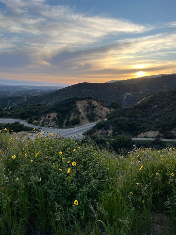
SB SOLVANG
Rota de ciclismo
Detalhes
36,7 milhas
3 608 pés
SB TO Solvang over OSM
Criado por
Ruth Ann P

Rota e elevação
Segmentos
| Nome | Distância | Dif. Elevação | Inclinação Média |
|---|---|---|---|
| State St (Mission to Quinto) | 0,47 milhas | 75 pés | 3,1% |
| Alamar Climb | 0,55 milhas | 85 pés | 2,9% |
| Alamar to top of OSM | 8,01 milhas | 1 247 pés | 2,5% |
| Foothill Bump (Laureles to Laurel) | 0,14 milhas | 46 pés | 6,2% |
| Ontare to La Cumbre Northbound | 0,91 milhas | 79 pés | 0,2% |
| Duncan Hill Climb | 0,41 milhas | 82 pés | 3,7% |
| Foothill Northbound Willowglen Bump | 0,52 milhas | 72 pés | 0,9% |
| Vista to Cieneguitas Decent | 0,73 milhas | -167 pés | -4,2% |
| la cumbre to Cieneguitas | 0,48 milhas | -144 pés | -5,6% |
| Cathedral Oaks (Via Chaparral to Turnpike) | 1,44 milhas | -138 pés | -0,5% |
| Lorraine to Turnpike | 1,30 milhas | -118 pés | -0,7% |
| Retiro sprint climb | 0,32 milhas | 69 pés | 4,1% |
| Entire length Old San Marcos Pass Rd. | 3,56 milhas | 1 220 pés | 6,4% |
| OSM to WCC | 5,06 milhas | 1 729 pés | 6,5% |
| Into the Fogggg | 0,41 milhas | 177 pés | 8,1% |
| Official Old San Marcos Pass | 2,97 milhas | 1 165 pés | 7,4% |
| OSM Bridge to Switchbacks | 2,43 milhas | 919 pés | 7,1% |
| OSM First Two Miles | 2,05 milhas | 791 pés | 7,3% |
| Half OSM | 1,47 milhas | 554 pés | 7,1% |
| OSM First Mile | 1,04 milhas | 397 pés | 7,2% |
| OSM Steep Start | 0,25 milhas | 112 pés | 8,4% |
| OSM Twin Ridge | 0,64 milhas | 217 pés | 6,4% |
| Old San Marcos and 154 to top of pass | 5,26 milhas | 1 962 pés | 7,1% |
| 666.9 m | 5,39 milhas | 2 037 pés | 7,2% |
| OSM: twinridge to top | 2,28 milhas | 984 pés | 8,2% |
| Twinridge to the beginning of Rattlesnake | 0,75 milhas | 318 pés | 8,1% |
| OSM Second Mile | 1,03 milhas | 440 pés | 8,0% |
| OSM Second Mile (corrected) | 1,00 milhas | 407 pés | 7,7% |
| Rattlesssnake - Up | 0,49 milhas | 223 pés | 8,4% |
| OSM less steep part | 0,36 milhas | 102 pés | 5,3% |
| OSM Third "Mile" (corrected) | 0,87 milhas | 381 pés | 8,3% |
| OSM Third Mile | 0,79 milhas | 374 pés | 8,9% |
| OSM Switchbacks to Trout Club | 0,65 milhas | 331 pés | 9,7% |
| switchy switchbacks | 0,37 milhas | 236 pés | 12,0% |
| San Marcos Trout Club Climb | 0,71 milhas | 305 pés | 8,0% |
| San Marcos Steep | 0,54 milhas | 259 pés | 9,1% |
| OSM Home Run | 0,37 milhas | 161 pés | 8,0% |
| The OSM Tree to the top of 154 | 2,38 milhas | 778 pés | 6,2% |
| San Marcos Pass - OSM to Kinevan Rd. | 1,54 milhas | 509 pés | 6,2% |
| Upper San Marcos Pass | 1,82 milhas | 646 pés | 6,7% |
| stagecoach to Paradise Rd | 3,83 milhas | -1132 pés | -5,5% |
| stagecoach top to cold spring tavern | 1,77 milhas | -554 pés | -5,9% |
| Stagecoach Rd to Paradise Second part descent | 2,53 milhas | -771 pés | -5,8% |
| 154- Stagecoach to Cachuma | 5,81 milhas | -154 pés | -0,2% |
| The Chumash Dash | 12,13 milhas | -433 pés | -0,3% |
| Armor Ranch to Roundabout | 1,72 milhas | 151 pés | 1,6% |
| THe 246 TT | 4,89 milhas | -226 pés | -0,7% |
| Chumash Sprint | 0,56 milhas | 69 pés | 2,2% |
| Cuesta to Sanja Cota Motel | 0,50 milhas | 56 pés | 1,9% |
| 246 West Mission Kicker | 0,26 milhas | 39 pés | 2,8% |