Strava
Móvil
Funciones
Suscribirse
Mapas
Historias
Registrarse
Iniciar sesión
+ 49
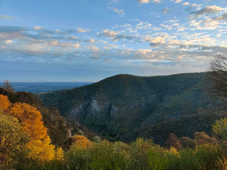
TDU peoples challenge ride 2018 100km
Ruta ciclista
Guardar
Compartir
Insertar
Copiar URL
Exportar en TCX
Exportar en GPX
Imprimir
Detalles
100,11 km
1.598 m
100km
Creada por
Laura James
4 de agosto de 2017
·
Público
Ruta y desnivel
Segmentos
Nombre
Distancia
Diferencia de desnivel
Pendiente media
Adelaide-Lobethal Rd, Lobethal to Kumnick Hill
2,73 km
113 m
4,1 %
Cudlee Creek and The Hills of Truth
9,02 km
-70 m
-0,3 %
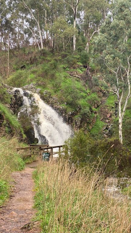
Cuddlee Creek
1,42 km
18 m
0,9 %
Post coffee climb
0,57 km
18 m
3,2 %
Gorge Road Decent
9,84 km
-151 m
-1,2 %
The Hills of Truth
3,67 km
-70 m
-0,8 %
Gorge Rd Climb
0,36 km
6 m
0,9 %
Gorge Road Downhill burn to Corkscrew Road
4,97 km
-169 m
-3,2 %
The CannonBall Run (no pedalling allowed)
1,79 km
-111 m
-6,1 %
Corkscrew Rd to Linear Park
4,54 km
-81 m
-1,5 %
Final climb
0,44 km
21 m
4,6 %
Montecute sprint
0,55 km
-19 m
-3,4 %
Morialta pitch
0,31 km
23 m
7,1 %
Stradbroke up ya go
0,10 km
10 m
9,6 %
Norton - 2nd 500mtrs
0,48 km
27 m
5,6 %
Norton Summit Climb
5,05 km
266 m
5,2 %
Norton 1stk
1,02 km
54 m
5,2 %
Norton - 3rd 500mtrs
0,53 km
28 m
5,2 %
Norton - 4th 500mtrs
0,50 km
29 m
5,8 %
Norton Summit - Middle 2km
1,89 km
102 m
5,4 %
Norton 1st Switch
0,28 km
15 m
5,3 %
Aaron's Secret Repeat Section (Shhh!)
0,97 km
56 m
5,7 %
Norton top half
4,05 km
204 m
4,5 %
Norton - 6th 500mtrs
0,56 km
34 m
6,0 %
Norton 2nd Switch
0,23 km
14 m
5,8 %
Ridgeland Dr Climb
0,95 km
100 m
10,4 %
Norton - 7th 500mtrs
0,50 km
56 m
11,2 %
Fuse: Ridgeland to 2nd Pole Interval
1,22 km
61 m
5,0 %
Pointless 480 odd metre segment
0,49 km
-21 m
-0,5 %
Norton - 8th 500mtrs
0,52 km
-38 m
-4,6 %
Norton 3rd Switch
0,67 km
31 m
4,6 %
Sprint to Teringie
0,36 km
-28 m
-5,9 %
Norton Summit - Last 1.5km
1,44 km
59 m
4,1 %
Norton - 9th 500mtrs
0,50 km
52 m
10,2 %
NORTON SUMMIT last bend
0,31 km
21 m
6,7 %
Ahhh.. headwind
0,20 km
14 m
5,9 %
Norton - 10th 500mtrs
0,42 km
31 m
7,3 %
Last 700 mtrs to the Oak tree
0,72 km
25 m
3,4 %
Through the trail walkers' car park
0,40 km
24 m
4,3 %
Final Sprint to the Oak Tree
0,46 km
17 m
3,6 %
Sprint to the Oak tree then keep it going to the crest!
0,97 km
28 m
1,6 %
Just when you thought it was over..
1,76 km
34 m
1,5 %
Oak tree to crest
0,59 km
20 m
1,8 %
Cresting!
0,20 km
7 m
3,1 %
Last effort - go hard
0,10 km
3 m
3,1 %
Norton - last 1km to township
1,01 km
-30 m
-0,5 %
short climb to Woods Hill Rd
0,21 km
16 m
7,4 %
Woods Hill
0,65 km
51 m
7,7 %
Woods Hill Rd - Full
1,86 km
77 m
4,1 %
Woods steep hill
0,17 km
10 m
3,4 %