| fairfax 1 mile climb | 0.93 英里 | 154 呎 | 2.5% |
| Pine Mtn. Pass | 3.39 英里 | 955 呎 | 5.3% |
| Fairfax + Seven Sisters | 12.52 英里 | 1,913 呎 | 2.8% |
| beginning of Bo Road | 0.89 英里 | 315 呎 | 6.3% |
| Bolinas Rd to Sky Oaks Rd | 0.85 英里 | 371 呎 | 8.2% |
| SkyOaks to Pine Mt Summit | 2.31 英里 | 568 呎 | 4.6% |
| Sky Oaks Rd to Meadow Club | 1.22 英里 | 223 呎 | 3.2% |
| Meadow Club to Pine Mt. Climb | 1.21 英里 | 344 呎 | 5.4% |
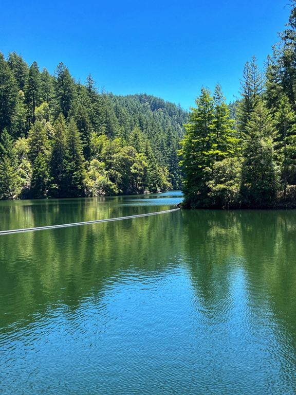
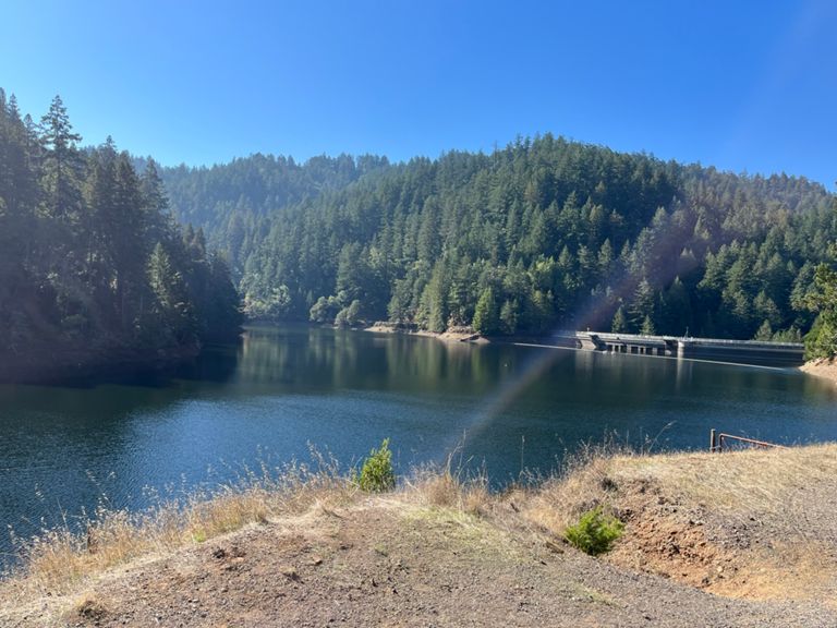
| Meadow Club across Alpine Dam | 5.24 英里 | -469 呎 | -0.4% |
| BHR Medow Club | 0.49 英里 | 164 呎 | 6.4% |
| Pine Mt to Alpine Dam | 4.04 英里 | -423 呎 | -2.0% |
| Bolinas Bump #1 | 0.35 英里 | 89 呎 | 4.7% |
| Last Dam Kicker | 0.54 英里 | 118 呎 | 3.9% |
| End of Alpine Sprint | 1.18 英里 | -197 呎 | -3.0% |
| Alpine Dam + Seven Sisters | 6.17 英里 | 1,391 呎 | 4.1% |
| Alpine Dam to Ridgecrest Climb | 2.01 英里 | 820 呎 | 7.7% |
| Seven Sisters | 3.72 英里 | 558 呎 | 2.3% |
| sister 1 Tempest | 0.29 英里 | 43 呎 | 0.3% |
| Sister 2 Tierney | 0.25 英里 | 95 呎 | 7.0% |
| sister 3 Trinity | 0.16 英里 | 7 呎 | 0.8% |
| Sister 4 Teresa | 0.46 英里 | 141 呎 | 5.7% |
| Sister 5 and 6 | 0.70 英里 | 315 呎 | 8.5% |
| Top Sister Sprint | 0.37 英里 | 92 呎 | 3.7% |
| Peter's Pence | 0.06 英里 | 26 呎 | 6.2% |
| Sister 7 Tiffany | 1.20 英里 | -85 呎 | -0.5% |
| Rock Springs to Pantoll | 1.30 英里 | -417 呎 | -6.1% |
| Ridgecrest to bottom of Pantoll descent | 2.89 英里 | -928 呎 | -6.1% |
| Pantoll to 4 Corners | 4.40 英里 | -774 呎 | -3.3% |
| Pantoll to Gravity car | 2.51 英里 | -505 呎 | -3.8% |
| Panoramic Flats to Mt Home Inn 1.2 Mile Sprint | 1.23 英里 | -95 呎 | -1.5% |
| Mountain home rollers | 0.87 英里 | 66 呎 | 0.7% |
| MT HO - BRO | 1.67 英里 | -315 呎 | -2.6% |
| St Jude to 4 Corners | 0.95 英里 | -276 呎 | -5.3% |
| So you think you can dance? | 0.37 英里 | -174 呎 | -8.8% |
| Four Corners Sprint | 0.26 英里 | -46 呎 | -2.9% |
| 4 Corners to Dispea Trail | 0.63 英里 | -223 呎 | -6.7% |
| 4 Corners to Wildomar | 1.20 英里 | -367 呎 | -5.8% |
| Camino Alto climb | 1.24 英里 | 308 呎 | 4.6% |
| Camino Alto (Mill Valley side) | 1.23 英里 | 308 呎 | 4.7% |
| Camino Alto Overhill Rd to Menke Park | 1.64 英里 | -256 呎 | -1.3% |
| Camino Alto - northbound from Vasco | 0.47 英里 | 112 呎 | 4.4% |
| Camino Alto - Final Sprint | 0.23 英里 | 46 呎 | 3.8% |
| C.A. North side drop | 0.90 英里 | -233 呎 | -4.8% |
| Corte Madera Green Light Breakaway | 0.48 英里 | -33 呎 | -1.3% |
| Magnolia Ave Sprint to Larkspur | 0.64 英里 | -39 呎 | -0.8% |
| Magnolia Sprint to Bon Air Rd | 0.41 英里 | -20 呎 | -0.7% |
| Magnolia through Shady Lane (Northbound) | 1.49 英里 | 20 呎 | 0.3% |
| College to Downtown Ross | 0.65 英里 | 13 呎 | 0.4% |
| Church to Southwood | 0.19 英里 | 3 呎 | 0.2% |
| Berlin Ave Climb | 0.42 英里 | 23 呎 | 0.8% |