| Church Corner to Juniper Hill | 2.07 公里 | 15 公尺 | 0.3% |
| TT6 | 3.34 公里 | -23 公尺 | -0.4% |
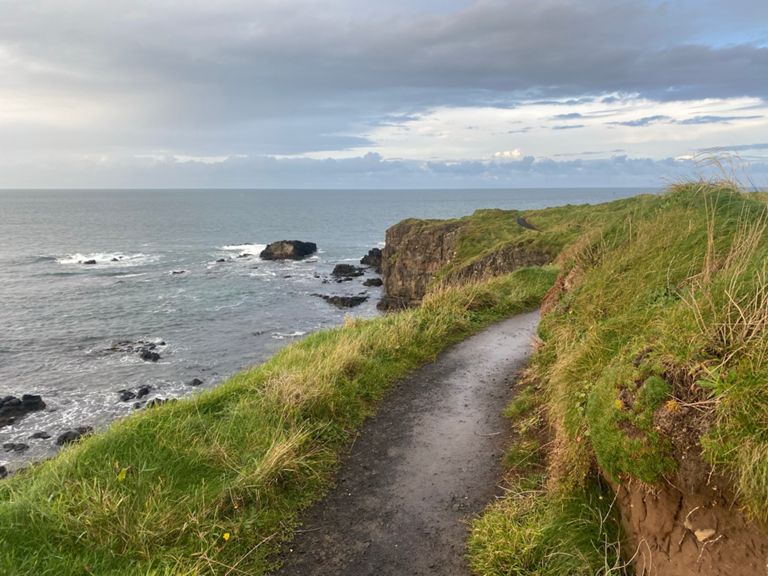
| Ballyreagh P&P thru the paddock | 1.30 公里 | -14 公尺 | -0.4% |
| Juniper Crest to York | 1.53 公里 | -17 公尺 | -0.9% |
| Millroad full kick Climb | 0.21 公里 | 17 公尺 | 7.8% |
| Mill road kick | 0.13 公里 | 9 公尺 | 7.2% |
| Burnside Roundabout to Larkhill Post office | 0.45 公里 | 11 公尺 | 2.0% |
| Portstewart Edge - Coleraine (Milburn Lights) | 3.49 公里 | -32 公尺 | -0.9% |
| Race the traffic | 0.39 公里 | 6 公尺 | 1.3% |
| Tesco To Water Margin | 0.48 公里 | -9 公尺 | -1.8% |
| Coleraine Inst to Hezlett Primary | 7.27 公里 | 34 公尺 | 0.2% |
| Exorna straight | 0.72 公里 | -5 公尺 | -0.1% |
| Castlerock to Limavady | 22.09 公里 | -64 公尺 | -0.1% |
| Downhill the quick bit | 0.85 公里 | -22 公尺 | -1.5% |
| Sea Shed Coffee Sprint | 3.35 公里 | -9 公尺 | -0.0% |
| Tracks to Tracks T-T | 7.80 公里 | 3 公尺 | 0.0% |
| Concrete mile (and a bit more) | 2.44 公里 | 4 公尺 | 0.1% |
| Field Centre to School | 3.08 公里 | -3 公尺 | -0.0% |
| School to swans bridge | 0.83 公里 | -4 公尺 | -0.1% |
| River Roe to Limavady(Seacost Rd R|about) | 7.19 公里 | 24 公尺 | 0.3% |
| Bridge to Turn | 2.69 公里 | -4 公尺 | -0.1% |
| 2.5 mile interval Seacoast Road | 3.70 公里 | 17 公尺 | 0.4% |
| Limavady to Maydown | 19.17 公里 | -53 公尺 | -0.0% |
| Ballykelly rd to Drummond | 3.24 公里 | -11 公尺 | 0.0% |
| Station Rd to River View | 0.60 公里 | 14 公尺 | 2.1% |
| A2: Carnamuff Rd - Ballygudden Rd | 6.20 公里 | -31 公尺 | -0.4% |
| Airport to Maydown carrageway | 6.35 公里 | 14 公尺 | 0.1% |
| To the Camp | 3.87 公里 | 12 公尺 | 0.1% |
| Eglinton Roundabout to Eakins | 4.07 公里 | 14 公尺 | 0.1% |
| white horse to maydown | 2.15 公里 | 12 公尺 | 0.1% |
| knox farm sprint | 0.69 公里 | 2 公尺 | 0.2% |
| Foyle Bridge to Peace Bridge | 2.68 公里 | -15 公尺 | -0.2% |
| Play park to peace bridge | 1.19 公里 | -12 公尺 | -0.6% |
| Peace Bridge west | 0.24 公里 | 3 公尺 | 0.8% |
| Magheramason drag | 2.19 公里 | 23 公尺 | 0.8% |
| The climb to Prospect | 3.16 公里 | 82 公尺 | 2.3% |
| Van-Dan O Brien MILE | 1.70 公里 | 22 公尺 | 1.3% |
| plough road drag | 4.42 公里 | 41 公尺 | 0.6% |
| PC Sprint | 1.60 公里 | -36 公尺 | -2.2% |
| Erganagh Descent | 2.03 公里 | -48 公尺 | -2.4% |
| Castlederg to top of Climb | 10.92 公里 | 164 公尺 | 1.5% |
| 7 mile straight | 7.64 公里 | -117 公尺 | -1.5% |
| Letterkeen 2 Drumgrenaghan | 6.33 公里 | -18 公尺 | -0.1% |
| Letterkeen to Rosscor Bridge Rd | 20.71 公里 | -24 公尺 | -0.0% |
| Boa Island heading to Belleek | 7.49 公里 | 24 公尺 | 0.1% |
| A47 Climb | 2.55 公里 | 84 公尺 | 3.3% |
| Full Gas- Foxy | 2.93 公里 | 10 公尺 | 0.1% |
| Belleek to Ballyshannon | 6.05 公里 | -45 公尺 | -0.4% |
| Sprint For The Bridge | 0.84 公里 | -24 公尺 | -2.6% |
| Ascendance Leaving Ballyshannon - Finner Road R267 | 0.86 公里 | 25 公尺 | 2.9% |